Warm and Dry Sunday Temperatures in Utah, Pattern Change Ahead
Utah enjoys a warm Sunday, but a significant weather change is on the horizon, promising cooler temperatures and potential rain early next week.
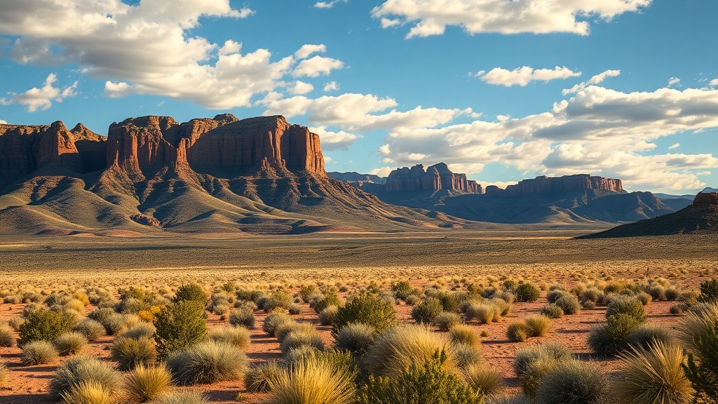
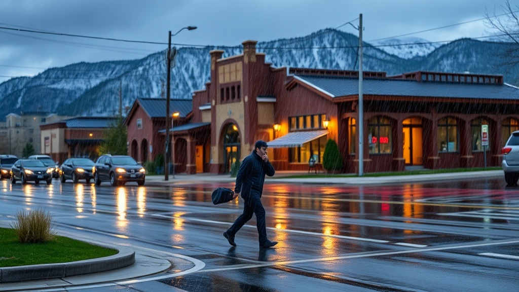
As Utah residents enjoy their Sunday, they are greeted with another day of above-average temperatures, thanks to persistent high pressure that continues to dominate the region's weather patterns. Meteorologists have reported that temperatures across the state are expected to reach the upper 80s to low 90s in many areas, making it an ideal day for outdoor activities, though residents are advised to remain cautious amid dry conditions that could elevate fire risks.
The Utah Division of Water Resources has noted that these warm and dry days are not just an anomaly but part of a larger climatic trend that has seen the state experience increasingly warmer temperatures over the past few years. The lingering high-pressure system has effectively suppressed cloud cover and precipitation, leading to clear skies and sunny conditions. This weather pattern is particularly significant as it follows a week of fluctuating temperatures, where some areas experienced cooler conditions due to passing fronts.
"This is definitely a warm spell, but it’s not unusual for this time of year," said Mark Johnson, a meteorologist with the National Weather Service in Salt Lake City. "We can expect these temperatures to be above normal for at least the next few days, but a shift is on the horizon as we move into the workweek."
As residents take advantage of the warm weather for outdoor events, including hiking in the Wasatch Mountains and family barbecues, they should remain mindful of the potential for rapidly changing weather conditions. The Utah Department of Natural Resources has issued reminders about the importance of water conservation, particularly as the state grapples with ongoing drought conditions. With reservoir levels at critical lows, the need for responsible water usage becomes even more pressing.
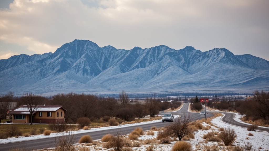
Looking ahead, a significant pattern change is expected to roll into Utah as we begin the week. Forecast models indicate that a cold front will begin to approach the state by Monday, bringing with it the potential for rain and cooler temperatures. This shift could provide much-needed relief from the dry conditions that have persisted throughout the summer months, but it may also be accompanied by gusty winds and the possibility of thunderstorms in some areas.
"The incoming system could help alleviate some of the drought conditions, but we need to remain cautious of any severe weather that may develop," Johnson added. "It’s essential for residents to stay informed about potential weather alerts, especially if they have outdoor plans."
The anticipated cold front is projected to bring temperatures down by as much as 15-20 degrees in some regions, a dramatic shift that could see highs in the mid-70s to upper 80s by midweek. This change is particularly welcome news for farmers and agricultural workers who have been struggling with the impacts of dry weather on crops. The cooler temperatures, along with any precipitation, could significantly benefit crops that are in their critical growth stages.
In addition to the potential for rain, the system could also usher in a more seasonal weather pattern, marking a transition from the scorching summer heat that has characterized much of the past few months. This shift could signal a move towards a more typical fall climate, complete with cooler evenings and the onset of colorful autumn foliage across the state.
As the week unfolds, Utah residents are encouraged to monitor local weather reports and remain prepared for the changing conditions. Schools, businesses, and outdoor enthusiasts are all advised to stay updated, as the weather could impact travel plans and outdoor events. With the potential for thunderstorms, it is vital for anyone with plans to be outdoors to take necessary precautions.
In conclusion, while Sunday brings warmth and sunshine to Utah, the upcoming week holds the promise of a significant shift in weather patterns. As residents enjoy the last of the summer-like temperatures, they should prepare for the cooler, wetter conditions that the new week is likely to bring. This transition not only affects daily life but also plays a crucial role in the ongoing efforts to manage water resources in a state that is no stranger to drought. As we move forward, the state will be watching closely for the impact of this weather change on both the environment and the community at large.