Mild Sunday in Utah Precedes Rainy Week Ahead: What to Expect
A warm Sunday in Utah is set to transition into rainy conditions, with forecasts indicating potential impacts on water resources.
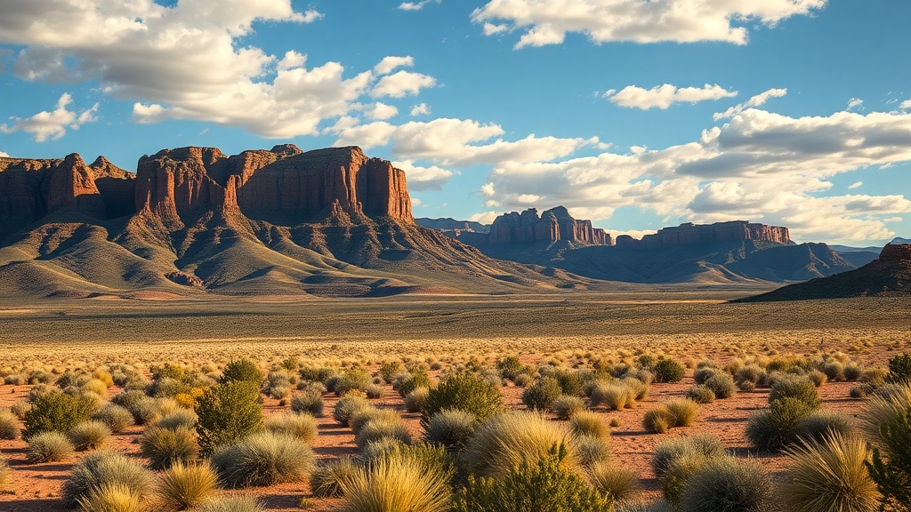
Utah’s weather is set for a notable shift as a mild Sunday gives way to a rainy forecast across the state. On February 5, 2023, temperatures soared to surprisingly high levels, reaching 10 to 20 degrees above normal for this time of year. Highs along the Wasatch Front approached the 60-degree mark, reminiscent of early April rather than early February. In Salt Lake City, the record high for this date stands at 64 degrees, with forecasters suggesting that this mark could be tied or even broken as residents enjoy this unseasonably warm day.
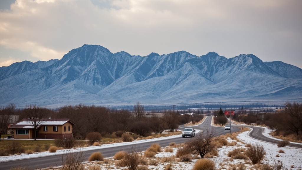
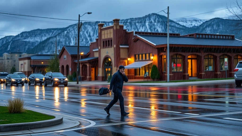
As the day progresses, a weakening cold front is anticipated to move into northern Utah, bringing with it changes that could affect the weather landscape. This frontal system is expected to arrive late Sunday night and into Monday, but its diminishing strength may limit the amount of moisture it can deliver. The most significant precipitation is likely to occur in the northern mountains, particularly the Bear River Range, where light to moderate amounts of rain and snow are anticipated. However, valley areas, especially those south of Ogden, are expected to receive little to no significant accumulation, raising questions about the overall impact of this system on local conditions.
Snow levels are projected to remain relatively high, which means that most valley areas will experience rain rather than snow. Residents in Cache Valley and eastern Box Elder County may see a brief transition from rain to snow late Monday night into early Tuesday, but the National Weather Service has indicated that any impacts from this changeover should be minimal. With the forecast showing a high likelihood of rain throughout the valley, many locals are contemplating how to prepare for the wet conditions.
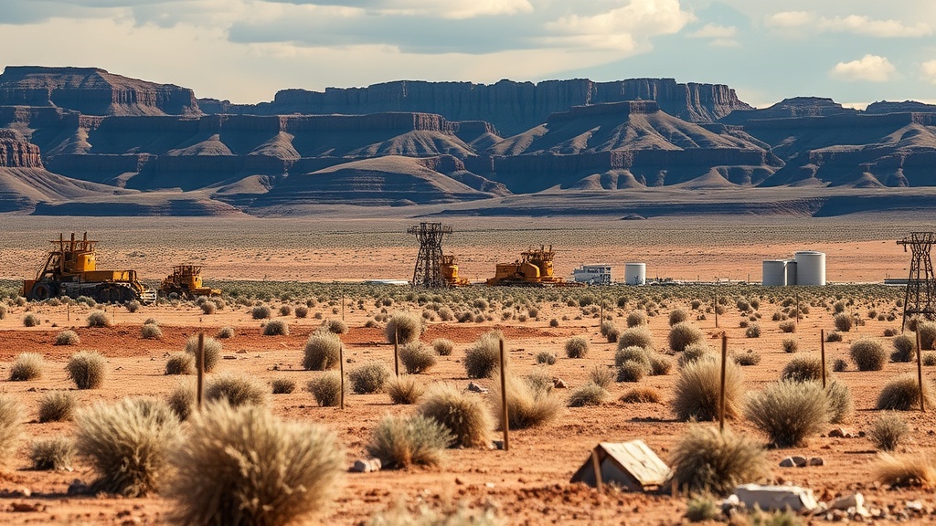
Looking ahead, another weather system is set to sweep through Utah from Tuesday into Wednesday, presenting another opportunity for valley rain and mountain snow. Meteorologists have noted that the latest forecast models indicate this system may be less potent than previously expected. Nonetheless, terrain-enhanced precipitation could still yield significant snowfall in mountainous areas. The northern mountain ranges, which include the Bear River Range, western Uinta Mountains, and the upper Cottonwoods, are projected to receive several inches of snow from Tuesday morning through late Wednesday night.
Outside of these mountainous regions, snowfall amounts are expected to be more limited, leading to concerns that this pattern may not provide the robust snowpack needed for the upcoming months. Recent weather trends have suggested lower precipitation totals overall, which could diminish the chances of a significant snow event for the state. As Utah grapples with fluctuating weather patterns, the prospect of moisture is welcomed, particularly after a dry winter.
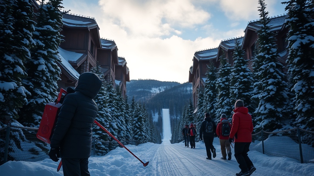
In the context of Utah's broader climate challenges, the anticipated rain and snow could have implications for water resources, agriculture, and even local ecosystems. Water managers and farmers alike will be monitoring the situation closely, as any moisture can help mitigate drought conditions that have plagued parts of the state. The snowpack in the mountains is particularly crucial for Utah’s water supply, as it melts in the spring and feeds rivers and reservoirs.
As the weather unfolds, residents are encouraged to stay informed through various channels. The Fox 13 First Alert Weather app provides real-time forecasts, and interactive radar allows users to track weather patterns across Utah. For those who prefer direct updates, subscriptions to weather newsletters and severe weather alerts are also available, ensuring that the community remains prepared for any changes in the forecast.
In conclusion, while Sunday’s mild temperatures may feel like a tease of spring, the incoming weather systems signal a return to more typical winter conditions for Utah. The potential for rain and mountain snow could provide much-needed moisture, but the uncertainty surrounding precipitation amounts poses questions about the long-term impacts on water resources and the environment. As the state transitions into this next phase of winter weather, residents will be keeping a close eye on forecasts and preparing for the rain ahead.