Utah's Weekend Weather: Above-Average Temperatures and Upcoming Cold Front
Utah experiences unseasonably warm weather this weekend, but a cold front will bring rain and snow starting Monday.
As the residents of Utah prepare for the weekend, they can expect to bask in hazy sunshine and enjoy unseasonably warm temperatures. Under the influence of a high-pressure system, temperatures are forecasted to soar 10 to 15 degrees above the average for this time of year. With dry skies prevailing, many Utahns will likely take advantage of the favorable conditions, engaging in outdoor activities and events.
Meteorologists have noted that this high-pressure system has led to a prolonged period of stable weather, contributing to the unseasonable warmth. Daytime highs in many areas across the state are expected to reach the mid-70s to low 80s, well above the typical October averages of the mid-60s. According to the National Weather Service (NWS), this warm spell is not just a fleeting moment; it is part of a broader trend seen over recent years where warmer-than-average temperatures have become increasingly common during the fall months.
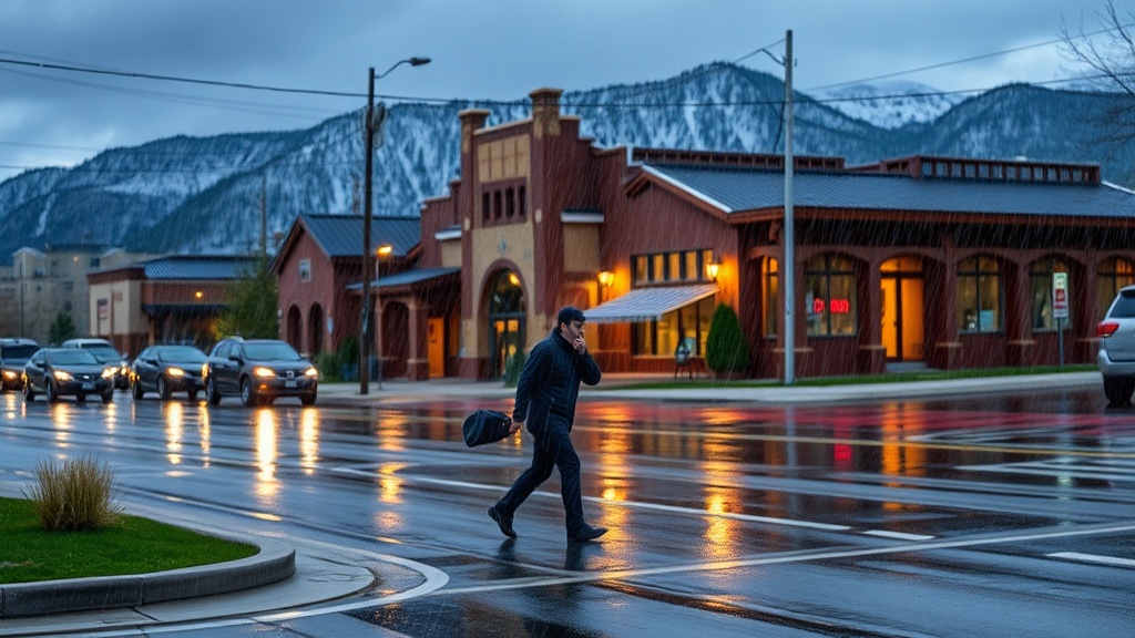
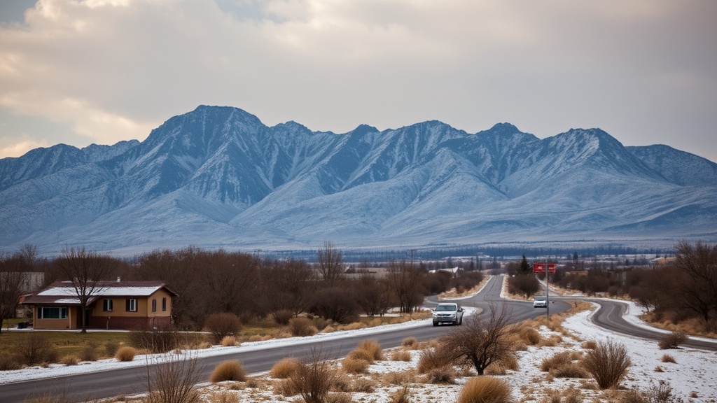
However, as the weekend progresses, significant changes are on the horizon. A cold front is expected to move into the region, bringing with it a shift in weather patterns starting late Sunday night and continuing into Monday. This front will likely result in rainfall across the valleys and snowfall in the higher elevations of the mountains. Meteorologists warn that while the precipitation may provide some much-needed moisture, it could also lead to mixed conditions in the mountains, particularly at higher altitudes where the temperature drops significantly.
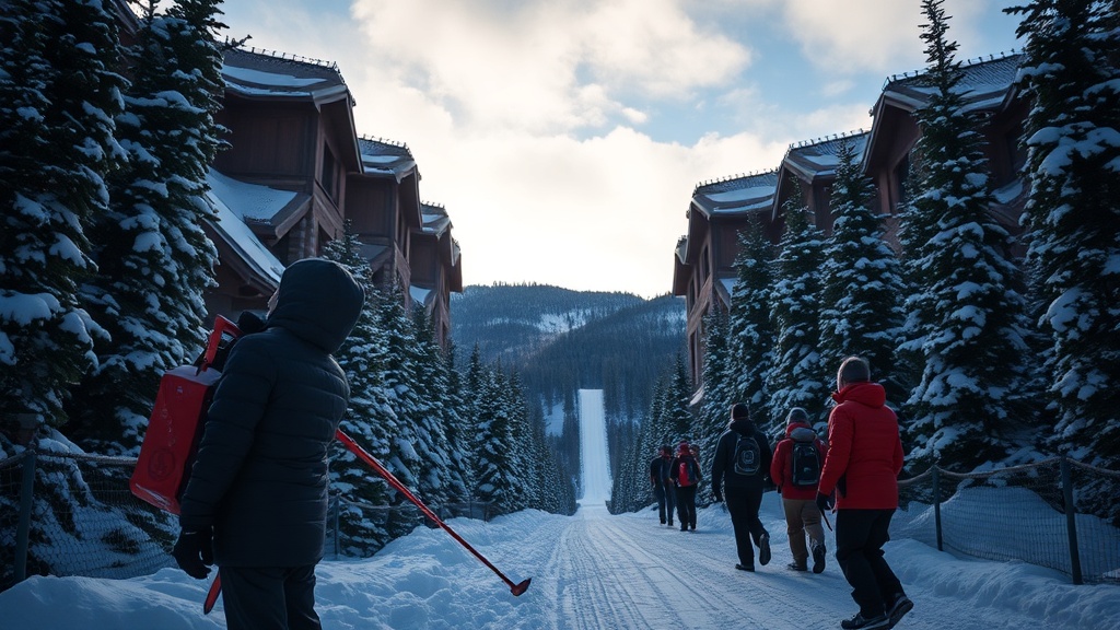
The forecast indicates that valley areas could see anywhere from a quarter to half an inch of rain, while elevations above 7,000 feet may receive several inches of snow. This snowfall could be beneficial for ski resorts preparing for the upcoming winter season, as it helps to build a base for the slopes. For those planning to travel or engage in outdoor activities in the mountains, caution is advised due to the potential for rapidly changing conditions.
Local officials have begun to prepare for the incoming weather changes, particularly in areas prone to flooding or mudslides due to recent dry conditions. Emergency management teams are on alert, ready to address any issues that may arise from the combination of rain and melting snow. Residents are encouraged to keep an eye on updates from local news outlets and weather services to stay informed about any potential hazards.
As the cold front approaches, Utah's weather is expected to shift dramatically. The NWS has issued advisories for mountain areas, urging residents and visitors to be cautious of the potential for increased snowfall and lower visibility. The cold front's arrival is anticipated to drop temperatures significantly, with highs expected to fall back into the 50s and 60s by midweek, aligning more closely with seasonal norms.
Despite the impending changes, Utahns are making the most of the warm weekend. Many outdoor events, including fall festivals and hiking excursions, are seeing increased attendance as families and friends gather to enjoy the last of the warm weather.
Looking ahead, the forecast suggests that after the cold front passes, conditions will stabilize again, though temperatures may remain slightly below average for the latter part of the week. Long-term projections indicate that Utah may continue to experience fluctuations in weather patterns as the season progresses, which could impact not only daily life but also agriculture and water resources in the region.
In conclusion, while Utah enjoys a warm and sunny weekend, the arrival of a cold front promises to usher in a period of rain and snow, altering the current weather landscape. Residents are advised to prepare for the changes and to stay informed through reliable weather updates as the state transitions into the cooler months ahead.