Utah's Snowpack Reaches Record Lows: Is Winter Relief Finally Coming?
Utah's snowpack has hit a record low, sparking concerns about water supply and winter activities as hopes for snowfall emerge next week.
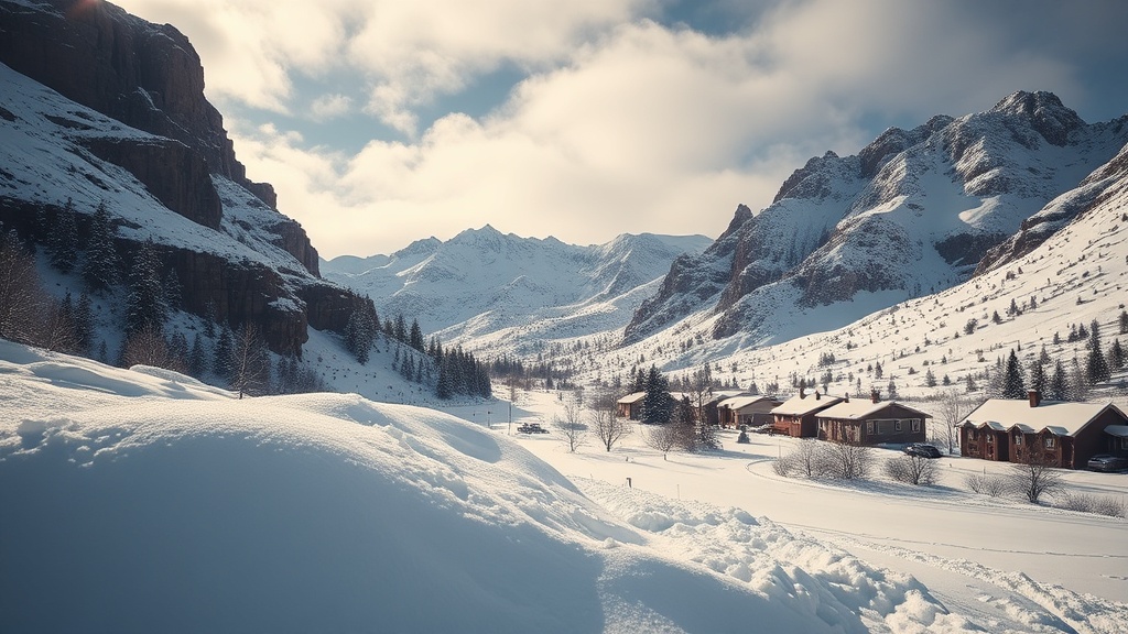
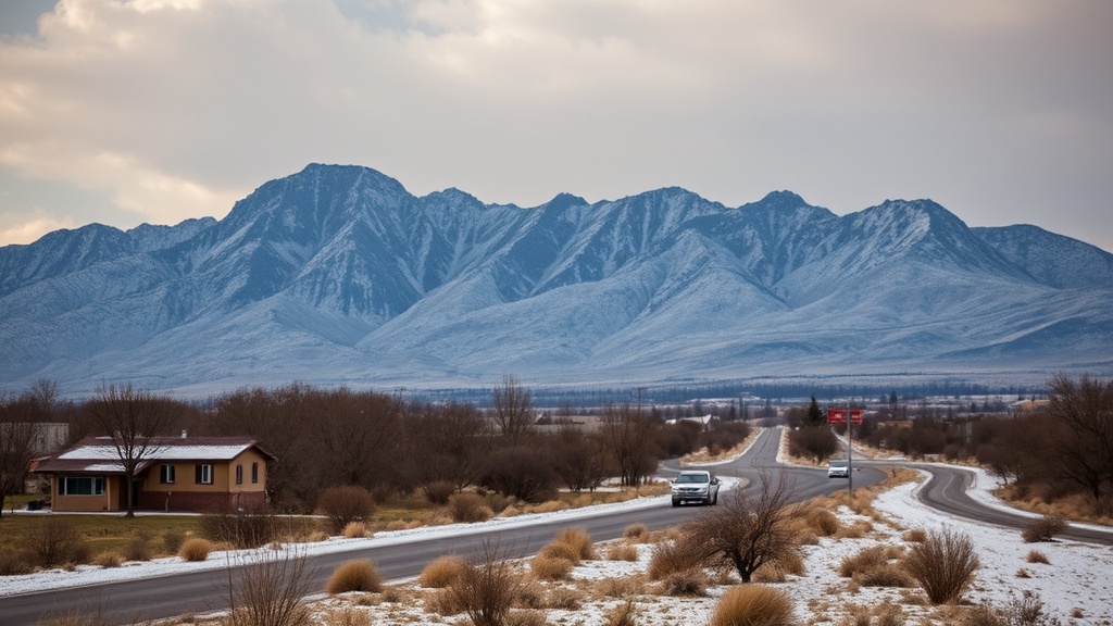
Utah's winter season has reached a concerning milestone as recent reports confirm that the statewide snowpack has hit a record low, marking the worst levels since the SNOTEL station program began in 1980. The latest data reveals that the statewide median snowpack has fallen to just 56% of the average for this time of year, significantly below the previous minimum recorded. This alarming trend has prompted concerns among meteorologists and residents alike as they anticipate the potential impacts on water supply and winter activities.
According to Evan Thayer, a forecaster with OpenSnow, the current snowpack situation is unprecedented. "It’s official. This is now the worst statewide snowpack we have ever had," he stated, referencing the data that shows the median snowpack (represented by a black line in the accompanying graph) has dipped below the previous minimum (marked by a red line). This scenario raises questions about the long-term implications for Utah’s water resources, particularly as the state heavily relies on snowmelt for its water supply during the warmer months.
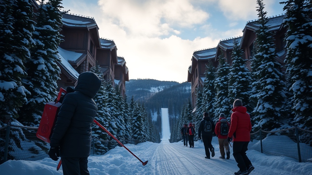
In Park City, specifically, the Thaynes Canyon SNOTEL site is reporting similar disheartening statistics. The area is currently registering snowpack levels at 63% of the median, which is troubling news for local ski resorts and outdoor enthusiasts. As the winter season progresses with minimal snowfall, concerns grow not only for the recreational industry but also for the ecological health of the region.
Weather patterns over the coming weeks could provide a glimmer of hope, as forecasts indicate a potential shift that might bring snowfall back to the area. However, Thayer cautions that high-pressure systems are currently dominating the weather, which has led to an extended dry spell. "High pressure will remain in control for the rest of this week and into the upcoming weekend," he noted, signaling that immediate relief may not be on the horizon.
Looking ahead, meteorological models suggest that a change is in the works. By early next week, the persistent ridge of high pressure is expected to weaken, allowing for a system to move down the West Coast. This could result in a cold front reaching Utah by February 10, introducing the first significant chance for snowfall in weeks. Thayer emphasizes that while the models indicate a possible increase in precipitation, specifics about storm intensity and snowfall amounts are still uncertain.
As the weather patterns evolve, Thayer remains cautiously optimistic. "While I believe we may finally see an end to this dry stretch, it is unlikely that we will return to normal snowfall levels anytime soon," he explained. The potential for a trough in the jet stream over the western United States could keep the door open for additional storms, which may provide some much-needed moisture for the regions affected by the snowpack deficit.
The implications of this snowpack situation extend beyond immediate winter sports concerns. Water resource managers and environmentalists are closely monitoring conditions, as low snowpack levels can lead to reduced runoff and subsequent water supply challenges during the summer months. Utah's growing population and agricultural demands heighten the urgency for adequate water resources, making this winter's snowfall crucial.
As Utah residents brace for the next few days of dry weather, they are encouraged to stay informed about changing conditions. Thayer urges the community to keep an eye on forecasts and prepare for the potential return of winter weather.
For those interested in staying updated on snowfall and weather patterns, Evan Thayer’s Utah Daily Snow forecast is available through OpenSnow.com and the OpenSnow app. It provides real-time updates and detailed forecasts that can help residents plan for the season ahead.
In summary, while Utah's current snowpack levels are alarming, there is hope on the horizon as weather patterns shift. Whether this will lead to significant snowfall remains to be seen, but the community is urged to remain vigilant and prepared as winter continues to unfold.