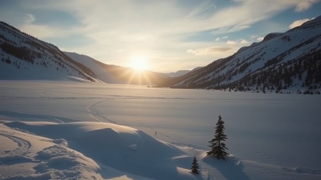
Utah's snowpack is at record lows, raising concerns for water supply amid warm conditions. The latest report reveals alarming trends across measurement sites.
Utah's snowpack conditions are raising alarms as a report issued by the Natural Resources Conservation Service (NRCS) reveals that as of January 1, snow water equivalent (SWE) measurements at 20 SNOTEL (Snow Telemetry) sites are at record lows. This concerning trend is compounded by the fact that eight additional sites are reporting their second-lowest readings. The latest Water Supply Outlook Report paints a stark picture of the state's winter, which has been marked by unusually warm temperatures and a lack of sufficient snow cover.
The report states, "This winter has gotten off to a very strange start with record-breaking warm conditions and poor snow cover." These conditions have resulted in high snow levels during winter storms, leading to an unexpected amount of liquid precipitation rather than snowfall, particularly at mid and high elevations in Utah’s mountainous regions. Such variations in weather patterns have significant implications for the state's water supply, which heavily relies on snowpack for irrigation and drinking water.
Despite some marginal improvements in snowpack levels since the start of January—especially in the Bear Basin and parts of the High Uintas—most areas continue to experience below-normal snowpack levels. The Tooele Valley-Vernon Creek and Lower Sevier basins are among the hardest hit, with snow water equivalent readings at nearly 30% of what is typically expected for this time of year. The situation remains critical, with 14 SNOTEL sites still recording record-low snow water equivalent and five others reporting their second-lowest conditions.
As of January 9, the statewide snow water equivalent had increased from 56% to 75% of normal, largely due to early January storms. However, this increase is insufficient to offset the earlier deficits. Historical comparisons suggest that years such as 1990, 2010, 2014, and 2024 had similar low SWE readings at this point in the season, but notably, three of those winters ended with above-normal snowpack.
Precipitation levels for December were reported at a near-normal level of 107%, pushing the water-year-to-date precipitation figures to 105% of median by the start of January. Following the storms in early January, that figure has risen to 119% of normal. The Bear Basin and southwestern Utah are faring better than other regions, approaching 150% of normal precipitation as of January 9.
Soil moisture levels, measured at depths of 2, 8, and 20 inches across Utah’s SNOTEL sites, are currently above normal, sitting around the 95th percentile. The report notes that soil saturation levels are at 58%, which is a significant improvement over last year's figures, reflecting a 19% increase in moisture. This could potentially aid in snowmelt runoff efficiency when spring arrives, mitigating some of the water supply challenges.
However, not all indicators are positive. Reservoir storage across the state has dropped by 13% compared to last year, currently sitting at 62% of capacity. The Upper Sevier watershed has seen the most dramatic decline, plummeting from 59% last year to just 26% of capacity as of January 1. This decline poses serious risks for agricultural and municipal water supplies as the state prepares for a potentially dry summer.
Water managers and policymakers are closely monitoring these developments as they prepare for the upcoming spring and summer months. The effects of low snowpack levels could lead to reduced water availability for irrigation, impacting crops and the agricultural economy. Additionally, urban areas that rely on snowmelt for their water supply may face challenges if the situation does not improve.
Utah typically depends on winter snowpack to replenish its water resources, making the current conditions particularly worrisome. As the state enters the heart of winter, the hope remains that additional snowfall will arrive to bolster the snowpack and alleviate some of the water supply concerns. The NRCS report serves as a critical reminder of the ongoing impacts of climate variability on Utah's water resources and the need for adaptive management strategies to navigate these challenges.
For those interested in diving deeper into the specifics of the current conditions, the full Water Supply Outlook Report is available for download, offering detailed insights and data regarding snowpack and water supply across the state.

