Unseasonably Warm Weather Expected in Utah Before Active System Arrives
Utah experiences unseasonably warm weather this weekend with inversion haze, but an active weather system is expected next week.
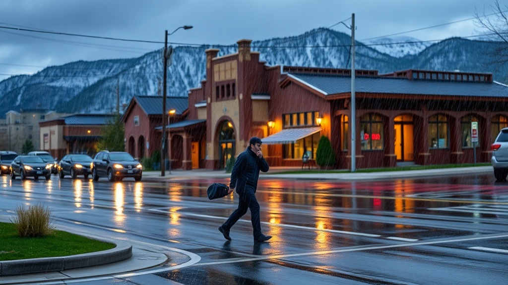
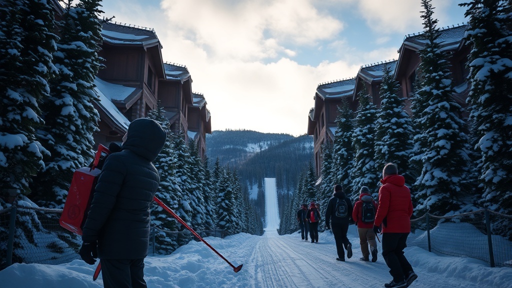
As Utah heads into the weekend, residents can expect unseasonably warm temperatures and clear skies, a welcome change for many after a series of chilly days. The National Weather Service (NWS) has forecasted highs ranging from the mid-50s to low 60s throughout the state, with some regions potentially experiencing even warmer conditions. This warm spell is attributed to a high-pressure system that is currently sitting over the Great Basin, effectively pushing cooler air masses out of the area. While this weather may provide a pleasant reprieve, it comes with the caveat of inversion haze that is expected to linger in the northern valleys, particularly in areas such as Salt Lake and Utah counties.
Inversions occur when warmer air traps cooler air near the surface, leading to stagnant conditions that can exacerbate air quality issues. The Utah Department of Environmental Quality (DEQ) has already advised residents to be mindful of the air quality, especially those with pre-existing respiratory conditions. According to DEQ meteorologist Brian McInerney, the inversion haze can lead to higher concentrations of pollutants, particularly during the morning hours when temperatures are typically cooler.
"While we all enjoy a warm day, it’s important to remember that warm temperatures can lead to poor air quality when combined with inversion conditions," McInerney stated. He urged residents to limit outdoor activities during times of heavy haze and to stay informed about air quality updates.
Looking forward, the warm weather is expected to continue through the weekend, but changes are on the horizon. Meteorologists predict that an active weather pattern will emerge early next week, bringing with it the potential for rain and even mountain snow as moisture moves into the region. The NWS has indicated that conditions will shift as a low-pressure system approaches, likely leading to cooler temperatures and increased cloud cover.
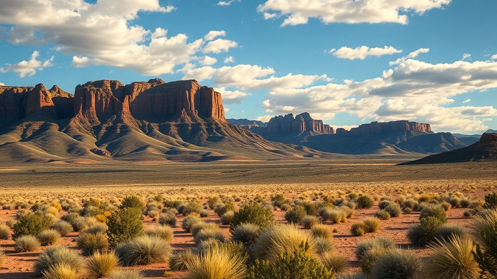
This transition is anticipated to begin as early as Monday, when precipitation could start in southwestern Utah, gradually spreading northward. By mid-week, forecasters are predicting a more significant weather event that may include widespread rain and mountain snow, particularly in the northern and central portions of the state. This could be a game changer for many areas still dealing with the impacts of last summer's drought, as any moisture would be beneficial for local ecosystems and water supplies.
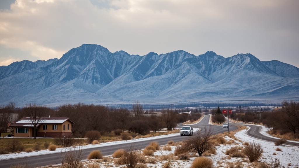
The Utah snowpack, crucial for the state’s water resources, has been a matter of concern in recent months. With the winter months being relatively dry, the upcoming storms could play an essential role in replenishing the snowpack. According to the U.S. Department of Agriculture's Natural Resources Conservation Service, the current snowpack levels are hovering around 70% of the normal for this time of year. This has raised alarms among water managers who are closely monitoring the situation.
"We rely heavily on snowpack to provide water resources throughout the warmer months," said Utah State University extension climatologist, Dr. Jon B. Cummings. "Any snowfall we receive in the coming days will be critical for our water supply and could significantly improve our situation heading into the summer."
As we enjoy the unseasonably warm weather this weekend, residents are encouraged to take advantage of the clear skies while remaining vigilant about air quality issues. Outdoor enthusiasts may find this an excellent opportunity for hiking, biking, or simply enjoying the sunny weather, but caution is advised for those with respiratory sensitivities. With the anticipated changes in the weather pattern, it’s essential for Utahns to stay informed and prepared for the shifting conditions that are likely to affect travel plans and outdoor activities in the upcoming week.
In conclusion, while this weekend's warm temperatures offer a delightful break from winter's grasp, the looming forecast of active weather serves as a reminder of the dynamic nature of Utah’s climate. As the state prepares for potential precipitation next week, all eyes will be on the skies, hoping for a fruitful outcome that benefits both the environment and the community. Residents are urged to keep their winter gear handy, as the winter months are not quite finished yet, and the promise of spring still lies ahead.