Stormy Start to January: Weather Forecast for Utah This Weekend
Utah's first Friday of January brings stormy weather, but a brief break is expected before more rain and snow on Sunday.
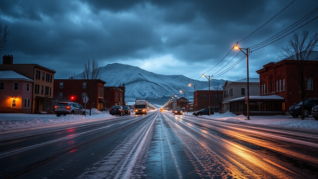
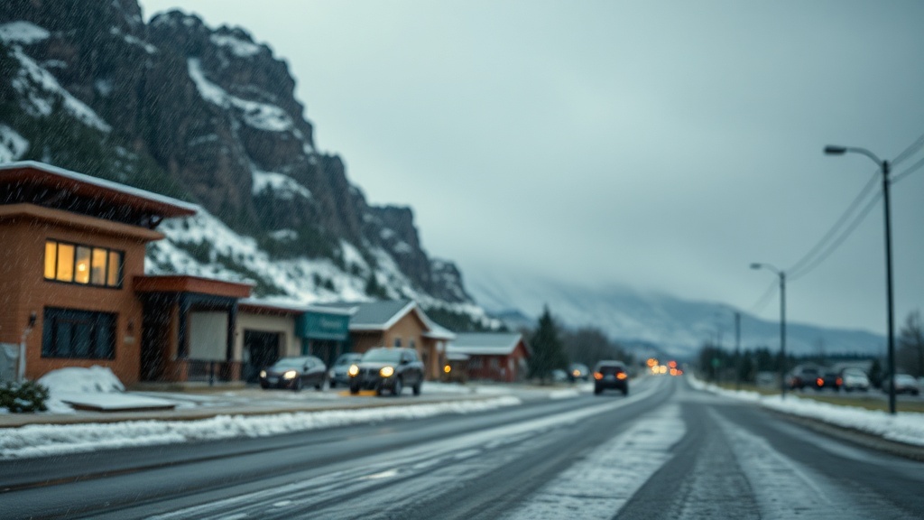
Utah experienced a stormy start to the first Friday of January, with weather varying significantly across the state. Early morning conditions included valley rain, mountain snow, and fog, particularly affecting northern regions. However, relief is on the horizon, as the stormy weather is expected to subside by mid to late morning, paving the way for a clearer afternoon. Meteorologists are predicting that the storm will leave behind up to 6 inches of fresh snow in the northern mountains, with an additional 3 inches possible in the higher elevations of central Utah. Most of the accumulation is anticipated to occur above 7,000 feet, which could benefit local ski resorts as they prepare for the weekend rush.
As the storm begins to wane, light snow showers may linger over the mountain ranges into the afternoon, but the majority of Utah will see a gradual drying trend. This temporary respite will be short-lived, as forecasters are already eyeing another storm system set to arrive by Sunday. This next round of precipitation is expected to bring colder temperatures, with snow levels dropping to around 6,500 feet. Residents are advised to prepare for more rain and snow as the weekend progresses.
In Salt Lake City, Friday morning began with significant cloud cover and rain, leading to a damp commute for many residents. However, temperatures are expected to rise to the upper 40s this afternoon as skies begin to clear. For the evening hours, the city will transition to partly cloudy conditions before becoming overcast overnight, with lows dipping into the upper 30s. On Saturday, Salt Lake City is forecasted to remain mostly cloudy, with high temperatures reaching into the low 50s. The anticipated rain on Sunday could impact weekend plans, particularly for outdoor activities, as temperatures will again hover in the low 50s.
Further south in St. George, weather conditions differ significantly from those in the north. Friday began partly cloudy with temperatures reaching the mid-50s, offering a stark contrast to the rain-soaked northern regions. Tonight, St. George will also experience partly cloudy skies, with temperatures falling to around 40 degrees. Saturday's forecast predicts mostly cloudy conditions, with highs in the upper 50s, and Sunday will continue this trend with a slight chance of rain and similar temperatures.
As Utahns prepare for the weekend, the changing weather patterns highlight the importance of staying informed. Meteorologists recommend downloading the Utah Weather Authority app for real-time weather updates and forecasts. This app allows residents to stay ahead of the weather, providing timely alerts about potential severe weather events, as well as interactive radar features to track conditions across the state.
Additionally, those planning to travel during the weekend should be aware of potential road conditions due to the expected snowfall, especially in mountainous areas. Officials from Rocky Mountain Power have urged residents to stay updated on power outages and safety measures, particularly during stormy conditions. Local authorities are also encouraging citizens to plan ahead for possible delays or cancellations due to weather impacts.
In conclusion, while the first Friday of the year has started with stormy conditions, Utah is set to experience a brief break in the weather before another system moves in this weekend. Residents are advised to monitor the forecast closely, especially as temperatures fluctuate and precipitation patterns shift. With varying conditions across the state, it is crucial for everyone to stay informed and prepared for whatever the weather may bring in the coming days.