Cold Front Brings Dry Conditions to Utah as High Pressure Builds This Weekend
Utah experiences a cold and dry weekend as high pressure builds, following a storm system that brought moisture earlier in the week.
As Utah wraps up the work week, residents are bracing for a noticeable shift in weather patterns. A recent storm system has left behind a blanket of cold air that is expected to dominate the state’s weather as high pressure begins to build. According to the National Weather Service (NWS), Friday marks the transition from a stormy atmosphere to a predominantly dry and cold environment, with temperatures significantly dipping across various regions.
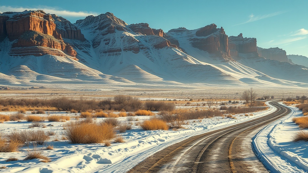
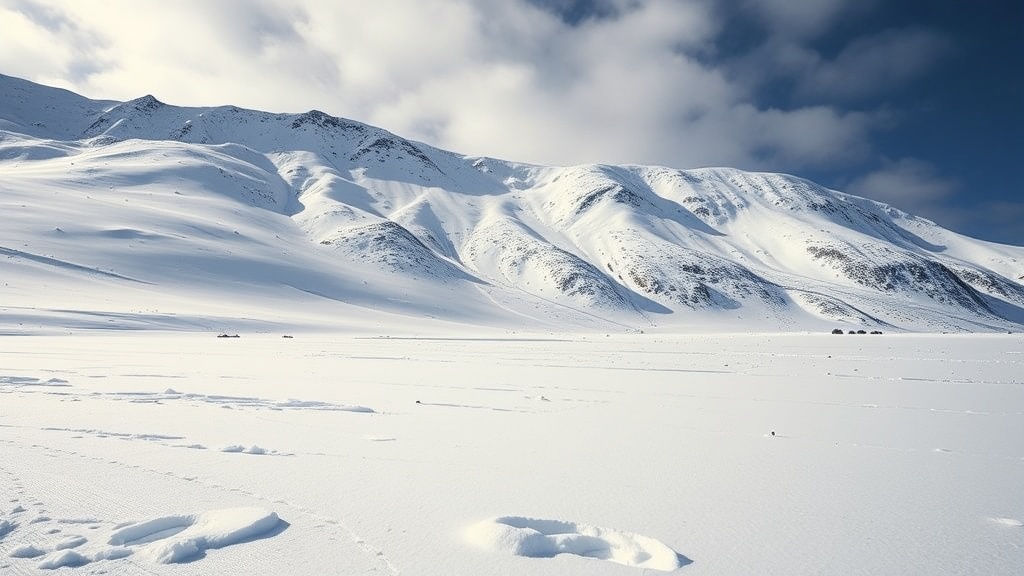
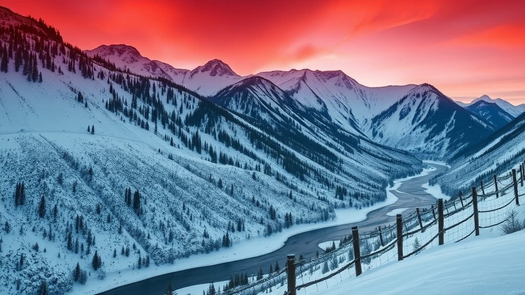
The latest forecasts indicate that temperatures will drop below average for this time of year, particularly in the northern and central parts of Utah. In Salt Lake City, for example, highs are predicted to only reach the mid-40s, whereas typical mid-October temperatures usually hover around 60 degrees. The stark contrast in temperatures can be attributed to the lingering effects of the storm system that swept through earlier in the week, bringing rain and even snow to some higher elevations in the Wasatch Range.
"We are definitely seeing the impact of the cold air left behind by the storm system," said NWS Meteorologist Brian McInerney. "As high pressure builds, we’ll see clear skies and dry conditions, but that also means those temperatures are going to feel quite chilly, especially in the mornings and evenings."
In addition to the temperature drop, residents should prepare for potential frost, especially in rural areas and valleys where nighttime temperatures may plummet to near freezing. The NWS has issued frost advisories across several counties, advising homeowners to cover sensitive plants and take precautions to protect outdoor plumbing.
The shift to drier weather comes after a week of unsettled conditions that included rain, wind, and snow in some mountain locations. The storm brought much-needed moisture to the state, contributing to water reserves as Utah continues to navigate a prolonged drought. However, as high pressure takes over, the moisture is expected to evaporate, leading to a stark contrast in conditions.
"While the moisture from the storm was beneficial, the transition to dry air can be quite jarring," McInerney noted. "We will be moving from a wet environment back to a dry one, and that could have implications for our water supply in the coming months."
As the weekend approaches, the high-pressure system is expected to dominate the weather pattern across Utah, bringing with it clear and calm conditions. Saturday and Sunday are forecasted to be mostly sunny, although the chilly air will persist. The NWS predicts that overnight lows could drop into the 30s in many areas, prompting residents to bundle up when heading out early in the morning or late at night.
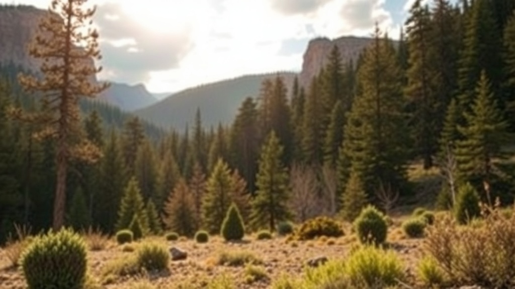
The upcoming week may present a mixed bag of weather, as projections indicate the possibility of another storm system moving into the area mid-week. However, for now, Utahns can expect a cold and dry weekend that might be ideal for outdoor activities, albeit with the need for warm clothing. Hiking, biking, and other outdoor pursuits might be enjoyable under sunny skies, but visitors should remain vigilant about the dropping temperatures, particularly in the late afternoon and evening hours.
In the context of climate trends, the recent fluctuations in weather patterns have sparked discussions among meteorologists and climate scientists regarding the potential effects of climate change on Utah’s weather. The state has experienced increasingly erratic weather, including more frequent and intense storms, alongside extended periods of drought. Observations suggest that while Utah may see short bursts of moisture, the overall trend points toward a drier future, raising concerns about water conservation and management.
As the state prepares for these changing conditions, residents are encouraged to stay updated on weather forecasts and advisories. The NWS will continue to monitor the situation closely, providing timely updates as the weather evolves. For now, Utahns can look forward to a dry and crisp weekend that offers a glimpse of the changing seasons ahead, reminding everyone that winter is just around the corner.
In conclusion, the shift to cold and dry weather marks the end of a tumultuous week in Utah. As high pressure begins to build, residents are advised to prepare for lower temperatures and potential frost. While the week started with much-needed moisture from the storm system, the transition to dry conditions emphasizes the ongoing challenges related to water supply and climate adaptation in the Beehive State.