Wasatch Mountains Brace for Another Foot of Snow Amid Winter Storm Cycle
The Wasatch Mountains are set to receive up to 14 inches of snow as a new winter storm approaches, following a significant recent snowfall.
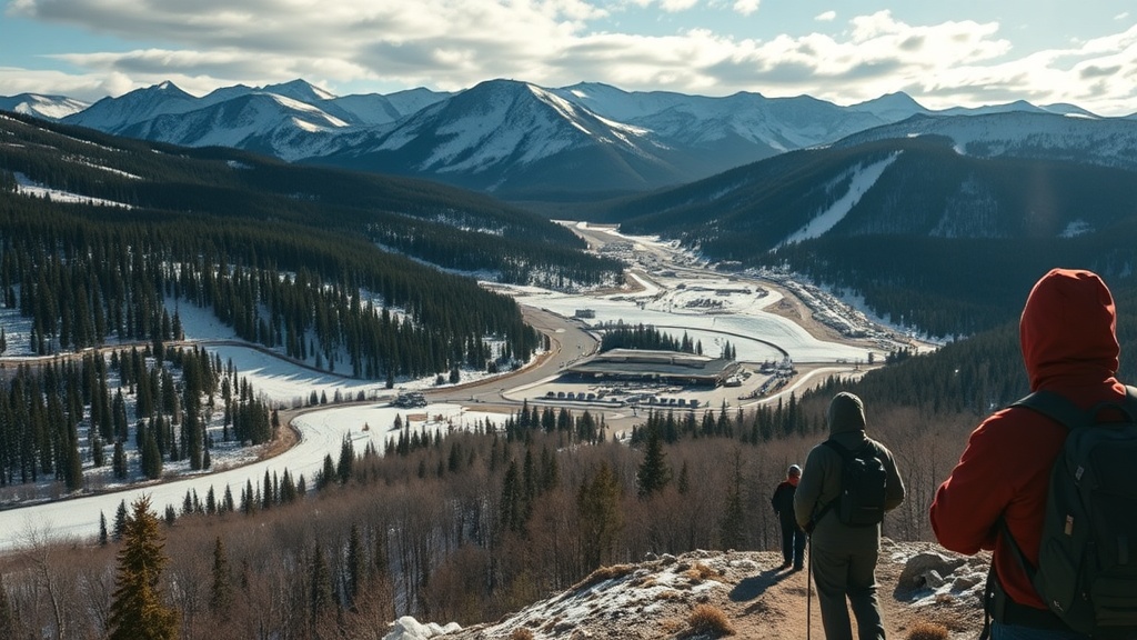
PARK CITY, Utah – The Wasatch Mountains are poised to receive another significant snowfall as a new low-pressure system rolls into the region, following the best winter storm of the season thus far. This incoming system is markedly colder than previous weather patterns, which have predominantly featured warm, southerly winds and high snow levels. Instead, this storm is expected to originate from the northwest, bringing a fresh wave of winter weather to the area.
As of Wednesday afternoon, light snow showers are anticipated to begin in the northern regions of the Wasatch Mountains, gradually moving southward throughout the day. Park City can expect to see light snow starting Wednesday evening, while lower valley areas may experience a rain-snow transition as temperatures begin to dip with the sunset. A robust cold front is forecasted to sweep through the area overnight, with the heaviest snowfall likely to occur by midday Thursday.
The National Weather Service (NWS) has projected substantial snow totals for various locations across the Wasatch, particularly in the Cottonwood Canyons, where accumulations could reach between 7 and 14 inches. Other areas, such as Deer Valley and Park City Mountain Resort (PCMR), are expected to see between 5 to 10 inches. In the base areas of Park City and the town itself, snowfall totals could range from 2 to 5 inches, while the Northern Wasatch, including popular ski destinations like Powder Mountain and Snowbasin, may receive 5 to 10 inches.
Weather patterns suggest a tapering of snow showers by late Thursday afternoon. However, forecasters caution that lake effect snow could develop Thursday evening into Friday morning, potentially enhancing snowfall totals in the Cottonwood Canyons and the western Salt Lake Valley. This season has yet to witness many weather systems cold enough, coupled with northwest winds, to trigger significant lake effect snow. Meteorologists are optimistic that the current conditions, featuring cold air moving over a relatively warm Great Salt Lake, may create the perfect setup for such snow events.
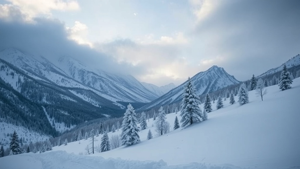
Temperatures in the aftermath of this storm are expected to plummet, with overnight lows plunging into the teens and single digits across many high-elevation locations. The National Weather Service has issued a winter weather advisory for large portions of Utah, warning residents of widespread snowfall and potential travel disruptions. The advisory is a reminder for travelers to prepare for adverse driving conditions in the wake of the storm.
Interestingly, the most recent forecast models indicate that the center of the low-pressure system is tracking further south and west than previously anticipated. This adjustment introduces uncertainty regarding total snow accumulation, as it remains unclear where and how effectively lake effect snow will manifest, and how long the snow showers will persist into Thursday evening.
Looking ahead, as the storm system exits the region on Friday, a high-pressure system is expected to build back in, resulting in a return to more seasonal temperatures. The extended forecast suggests a predominantly dry pattern following the storm, prompting outdoor enthusiasts to take advantage of the fresh snow while they can. Ski resorts and winter sports enthusiasts are eagerly awaiting the snowfall, as it promises to enhance conditions on the slopes significantly.
The impact of the storm extends beyond just recreational activities. The influx of snow is vital for the region’s water supply, replenishing reservoirs and contributing to the overall health of local ecosystems. As Utah grapples with ongoing drought conditions, each snowfall plays a critical role in maintaining water levels and supporting agriculture, which is a cornerstone of the state’s economy.
As winter continues its grip on the Wasatch, residents are reminded to stay informed about weather updates, especially those planning travel or outdoor activities. The blend of cold air and moisture from the recent storm cycle could offer an excellent opportunity for snow sports while also serving as a crucial part of Utah’s water management strategy moving forward. With a dry long-range forecast looming, this storm may be one of the last significant snow events for the immediate future, making it all the more important for residents and visitors to seize the moment and enjoy the winter landscape while it lasts.