Utah Weather Update: Warm Conditions Persist Before Christmas Snow
Unusually warm temperatures in Utah precede a Christmas Eve storm, with potential snow forecasted.

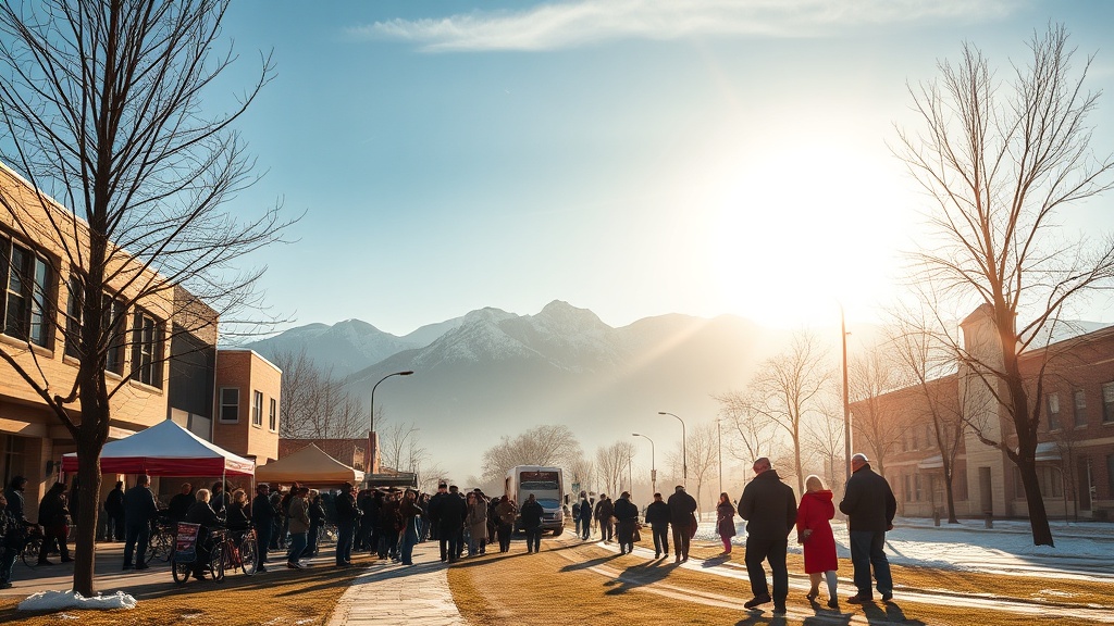
In Utah, an incoming storm is expected on Christmas Eve, bringing with it the possibility of snow. However, this year, temperatures have been unusually warm leading up to this event. Currently, daytime temperatures across Summit County are 20 to 30 degrees above average, with overnight lows remaining above freezing even at higher elevations. For instance, Park City did not experience temperatures dropping below freezing even at 10,000 feet this past Monday night.
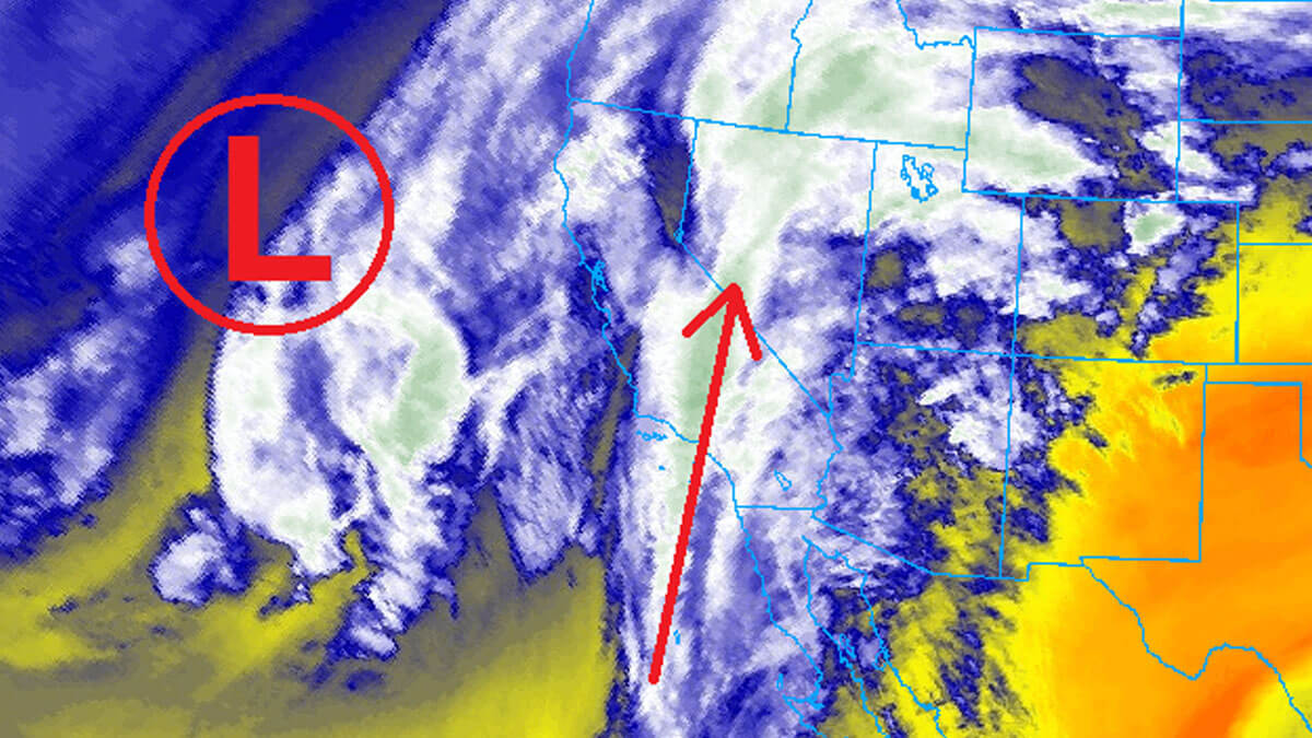
Salt Lake City has also reported record high temperatures, reaching 67°F, surpassing the previous record of 57°F for that date. These warmer conditions are projected to continue as a low-pressure system off the West Coast directs warm, moist air into the region.
Moisture is expected to arrive starting Wednesday afternoon, continuing into Christmas Day. However, the high snow levels may mean rain rather than snow for lower elevations, particularly in areas like Park City. Forecast models suggest that snow levels could rise as high as 9,000 to 10,000 feet, limiting snowfall to the higher peaks of the Wasatch.
Despite the forecast of rain in lower regions, light snowfall is anticipated in the high elevations of Deer Valley and Park City by the end of Christmas Day. The warm air and moisture from the low-pressure system are expected to lead to a gradual drop in temperatures as the system moves inland. Snow accumulation is forecasted to increase across the region, with 6-12 inches possible for Park City Mountain Resort and Deer Valley by the end of the week.
While this storm is not expected to bring significant accumulations, it will likely transition into cooler conditions, allowing for better snow levels in the following days. By Friday and Saturday, a shift in weather patterns could provide opportunities for snow and potential powder days. Looking ahead, high pressure may take over once again, leading to a quieter weather pattern as the new year approaches.