Park City Faces Warm Start to Christmas Storm, Snow Expected Late Week
Park City will see a multi-day storm with warm weather initially, but colder air will bring significant snowfall later in the week.
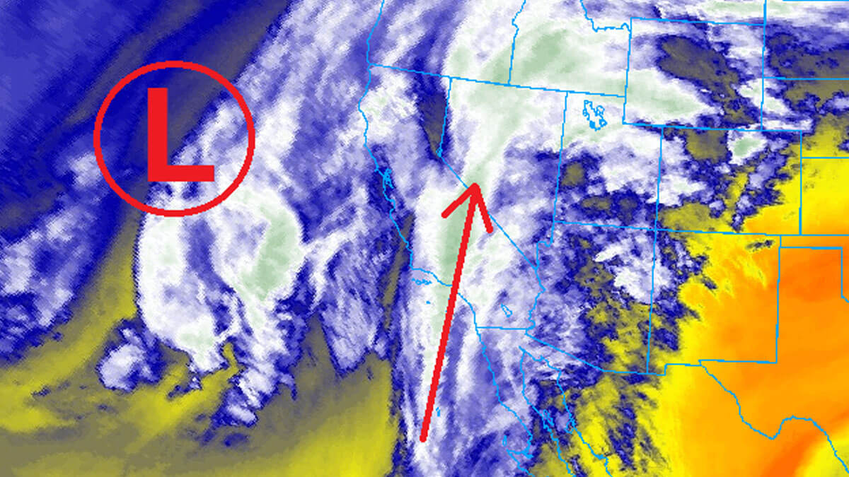
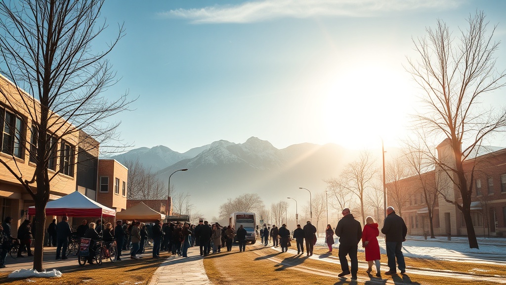
PARK CITY, Utah – A multi-day storm is set to impact Utah, starting Wednesday afternoon and continuing through Saturday. Initially, Park City will experience warm temperatures, strong winds, and rain, which are not ideal for the area's low snowpack. However, as the storm progresses, colder air will move in, resulting in a significant opportunity for snowfall. Forecasts suggest that the best chance for substantial snowfall this season will arrive late in the week.
Forecasted snow totals from Thursday to Saturday indicate Cottonwood Canyons could receive 9-18 inches of snow, while Park City base and town may see 2-5 inches. Deer Valley and Park City Mountain Resort are projected to receive 7-12 inches, and the Northern Wasatch area, including Powder Mountain and Snowbasin, could get 10-20 inches.
As the storm approaches, strong southerly winds will begin on Wednesday, driven by an atmospheric river originating from the south. Daytime highs in Park City are expected to remain near 50 degrees until Thursday, with snow levels initially rising to nearly 10,000 feet. This will drop to around 8,000 feet by Christmas, with rain showers likely developing in the mountains.
After a brief pause in precipitation on Thursday afternoon, the storm will shift, bringing colder temperatures and the potential for rain to transition to snow late on Christmas night. The Uinta Mountains are expected to receive 6-12 inches of snow due to their elevation.
From Friday to Saturday, the upper-level low-pressure system will move through Utah, causing snow levels to drop significantly. Accumulations of 5-10 inches are anticipated in the mountains on Friday as colder air replaces the warm front. Ski areas in the Northern Wasatch are expected to see the highest snow totals.
Light snow may continue into Saturday, with the possibility of measurable snow reaching lower elevation valleys, including Salt Lake City. This could mark the city's first snowfall of the season. Overall, despite a challenging start to winter with low snowpack numbers, the upcoming storm presents a critical chance for snowfall in the Park City area.