Unseasonably Warm Conditions Challenge Park City's Ski Community
Park City, Utah, faces unusual warmth this holiday season, with concerns about snowpack levels for skiing. A weak storm is expected midweek, followed by warmer conditions impacting lower elevation snowfall.

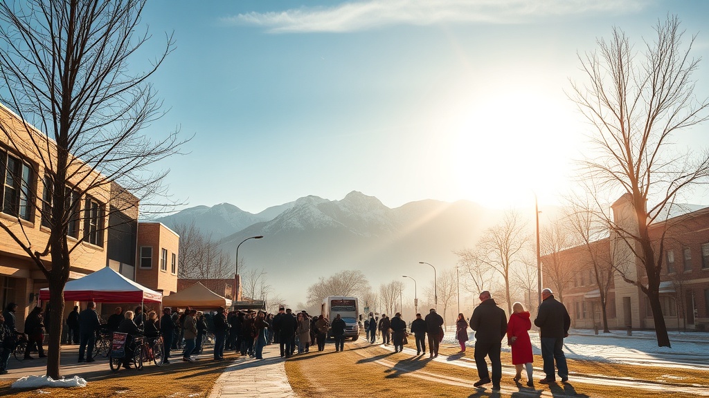
For the second consecutive year, the ski community in Park City, Utah, is experiencing unusual warmth as holiday season approaches, raising concerns about winter conditions. Observers are noting the sight of grass where snow would typically blanket the landscape, leading to widespread apprehension about the potential impact on the ski season.
Current readings from the Thaynes Canyon sensor indicate that snow accumulation is at 55% of the median level, slightly better than this time last year. However, this statistic is tempered by the reality that much of the snow is located in higher elevations above 9,000 feet, while lower regions are experiencing melting conditions. This phenomenon, described as "Going Backward," highlights the dramatic temperature disparities affecting the community.
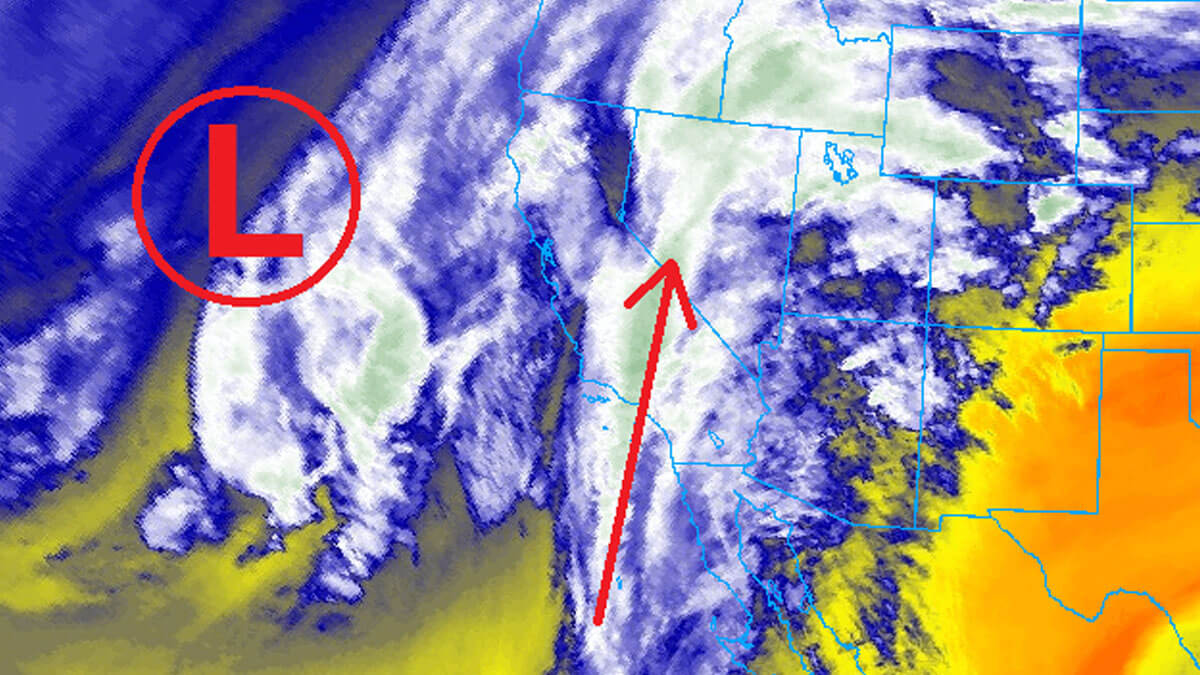
In the immediate forecast, a weather system is expected to pass through the area on Wednesday. While storms are anticipated, they will initially bring rain to Park City itself, with snow levels hovering around 8,000 feet. Late in the day, a cold front may lower snow elevation, but the storm is projected to deliver only modest snowfall totals, with predictions of 2 to 4 inches for the more elevated areas and minimal accumulation for lower elevations in Summit County.
Following the midweek storm, the region is bracing for an atmospheric river system set to move in by Saturday, which may result in continued precipitation into Sunday. Despite the potential for increased precipitation, warm temperatures will likely keep snow levels fluctuating between 7,500 and 8,500 feet, posing challenges for ski conditions.
Charts depicting the resort's snowfall forecast indicate that while higher elevations may receive substantial snow, lower portions will continue to remain damp. The OpenSnow 3D Forecast Snowfall maps illustrate this disparity, clearly showing that the mountain summit will likely enjoy enough snow to support skiing, whereas the base may struggle with rain.
Despite current concerns, it's important to remember that similar conditions led to significant snowfall last season. Meteorologists are cautiously optimistic, suggesting that there may be potential for a return to winter weather after Christmas. As the community holds its breath, it remains hopeful that conditions will stabilize, allowing ski operations to resume successfully this season.
The Park City ski community continues to navigate these unpredictable meteorological challenges, underscoring the importance of adapting to changing weather patterns and staying informed through local forecasts.