Unseasonably Warm Week Ahead with Rain Expected for Christmas in Utah
Utah faces an unusually warm week with rain and thunderstorms expected for Christmas.

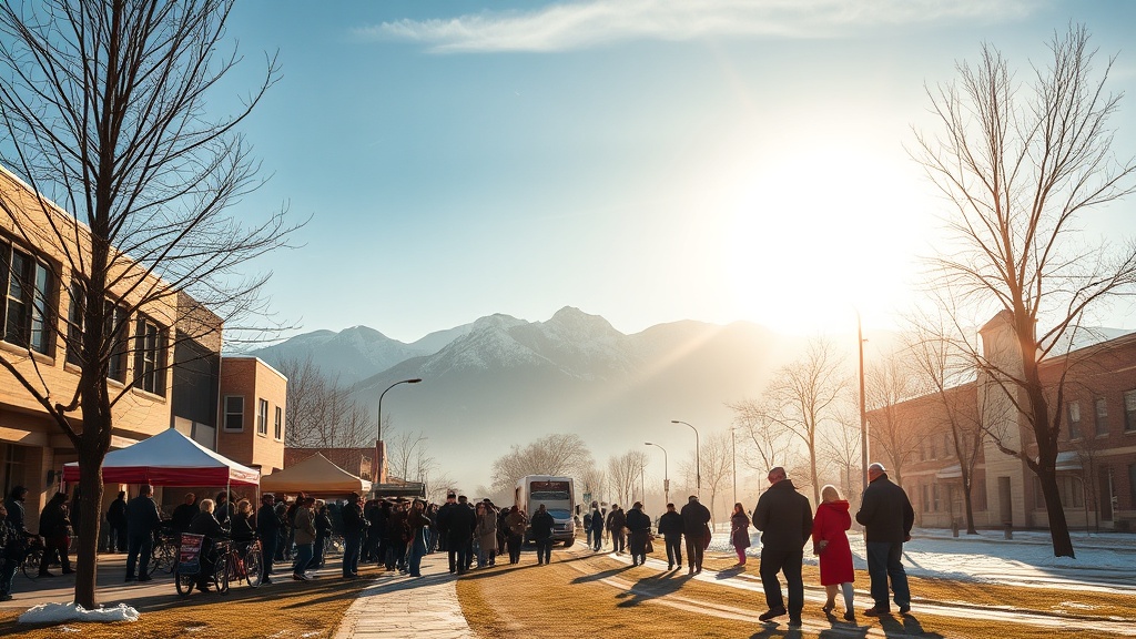
Utah is experiencing an unusually warm start to the week, with temperatures forecasted to remain significantly above average. Current projections indicate that temperatures will range from 10 to 20 degrees Fahrenheit higher than the typical seasonal averages. This rise in temperature may lead to the breaking of several long-standing temperature records across the state.
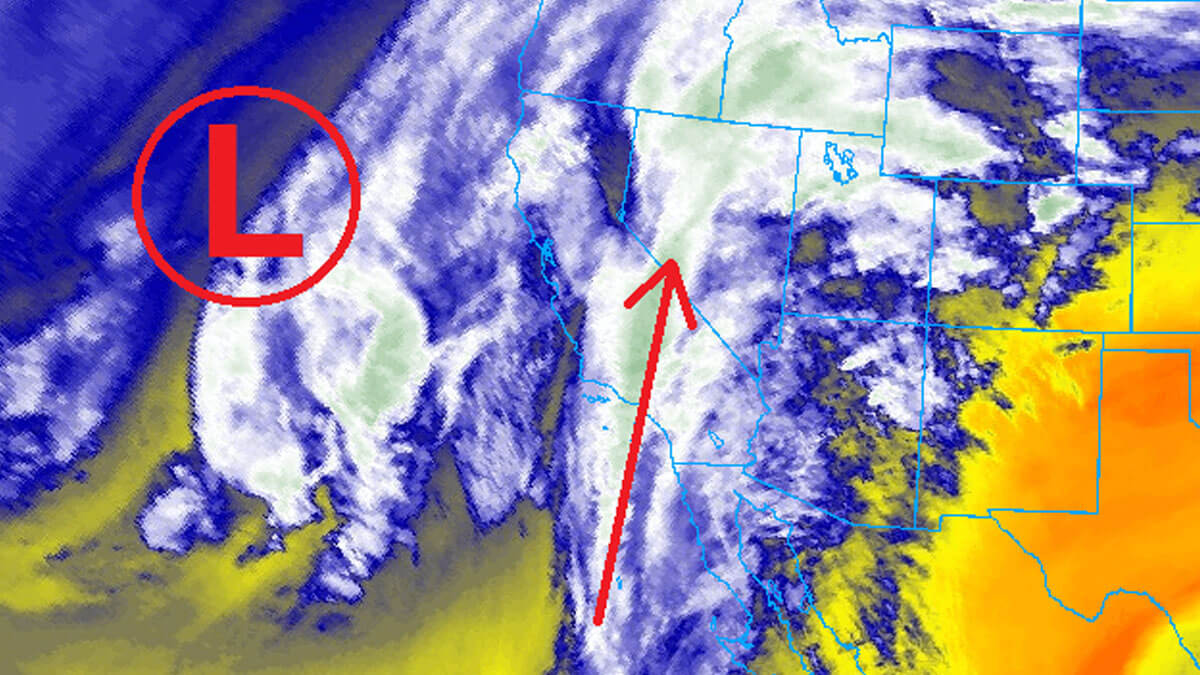
Cloud cover is expected to persist through Tuesday, offering only limited glimpses of sunshine. Residents should prepare for the possibility of rain as an Atmospheric River is anticipated to make its way into the region just in time for Christmas. The arrival of this weather system will bring not only rain showers but also the chance of thunderstorms.
As the week progresses, the warm temperatures will create a stark contrast to the usual winter conditions typically experienced during this time of year. The potential for rain and thunderstorms will also raise concerns about localized flooding in certain areas due to the saturated ground from prior weather patterns. Meteorologists are closely monitoring the situation to provide timely updates on this developing weather scenario.
Travelers should keep an eye on weather forecasts as the holiday approaches, particularly if outdoor plans are in place. The combination of warmth and precipitation could impact holiday travel and festivities, making it essential for residents and visitors to stay informed about changing weather conditions. Overall, Utah can expect a unique Christmas week with warm temperatures and the possibility of rain and thunderstorms, marking a notable departure from traditional holiday weather patterns.