Utah Faces Record Low Snowpack as Weather Conditions Shift This Week
Utah's winter season is facing the threat of record low snowpack levels, with limited ski terrain open. A series of warm storms may bring some relief later this week, but long-term forecasts indicate persistent higher temperatures affecting snow conditions.
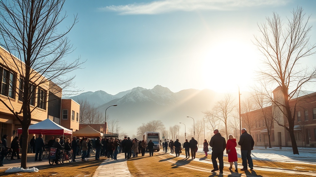
PARK CITY, Utah – The 2025-26 winter season is off to a precarious start for Utah as statewide snowpack levels approach historical lows just before the holiday period. Ski resorts such as Park City Mountain Resort and Deer Valley Resort are reporting limited terrain open for skiing, with only 3% (10 out of 348 trails) and 4% (8 out of 202 trails) of their trails available, respectively.
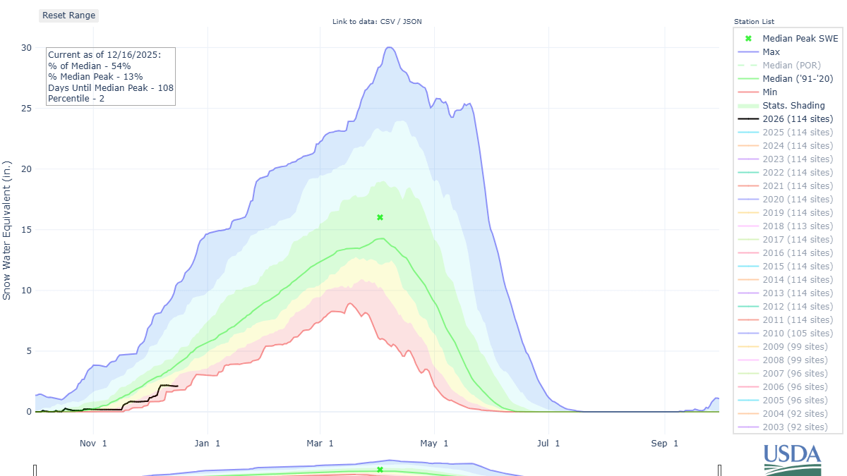
Current data reveals that key SNOTEL (Snow Telemetry) monitoring stations in the Central Wasatch region rank among the driest on record. Notably, the Thaynes Canyon station is reported as the third driest, while Brighton has the lowest recorded snowpack. This lack of snowfall has raised concerns for winter sports enthusiasts and local economies reliant on winter tourism.
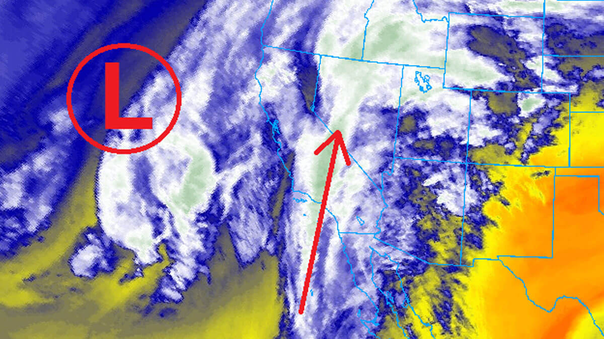
A shift in the weather pattern is expected soon, with warm storms predicted to begin midweek and potentially last through the weekend. Forecasts suggest a possibility of gaining some high-water-content snow at elevations above 8,000 feet; however, rain could lead to snowmelt at lower elevations, creating a balance of effects. In everyday terms, the weather will resemble fall conditions, with daytime highs forecasted in the 40s and nighttime lows in the 30s.
As warmer air moves in, high clouds and moisture are anticipated starting Wednesday, fueled by remnants of an atmospheric river system. This system is expected to bring modest snow accumulations ranging from 2 to 5 inches for the Central Wasatch, primarily due to the upper-level snow elevations starting near 9,000 feet.
Additionally, there will be significant westerly winds, with gusts potentially reaching upwards of 75 mph on the highest mountain ridges. Following this system, a colder front will shift in, but conditions are expected to dry quickly afterward, yielding minimal additional snowfall. Snow showers may occur on Thursday, with another larger and warmer storm front arriving by Friday evening, promising further precipitation albeit at higher elevations.
Long-term forecasts suggest that Utah may continue to experience warm and dry conditions due to returning weak La Niña patterns. These climatic conditions typically influence the southwestern United States towards drier winters, contributing to the current snowpack crisis. As of now, projections indicate temperatures will remain above normal into late December, raising further concerns about the long-term implications for local water resources and the ski industry.