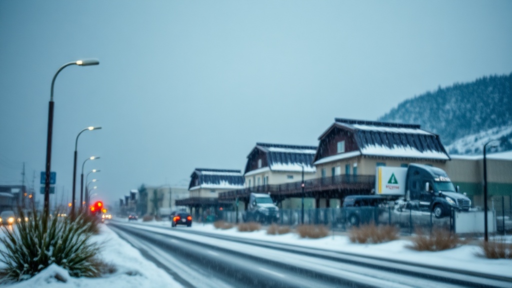
A strong storm is set to bring rain and snow to Utah, impacting travel and water supply this week.
Utah residents are preparing for a quick-moving storm system expected to impact the state on Wednesday evening, bringing with it a mix of valley rain and mountain snow showers. This weather pattern is the result of a strong cold front that is set to move through the region, altering the state’s typically dry autumn conditions with a shift to wintry weather.
Meteorologists from the National Weather Service (NWS) have reported that the storm will begin to make its presence felt in the late afternoon hours, with precipitation likely starting in the northern part of the state. Rainfall is expected to accumulate in the valleys, while snow will begin to blanket the higher elevations. The NWS forecasts that elevations above 7,000 feet could see significant accumulation, with some areas potentially receiving up to a foot of snow by Thursday morning.
"This storm is a classic example of how quickly conditions can change in Utah," said meteorologist Jason Smith. "As the cold front moves in, we expect temperatures to drop significantly, creating a perfect environment for snow in the mountains and mixed precipitation in the valleys."
The transition from rain to snow is expected to occur overnight, with temperatures plummeting as the cold front advances. Areas like Salt Lake City and Provo are predicted to experience rain showers turning to a mix of rain and snow late Wednesday night, while further north, places like Ogden may see nearly all snow accumulation. The shift in weather could lead to challenging driving conditions, particularly in mountain passes and along the I-15 corridor.
As the storm progresses into Thursday, Utahns can anticipate a continuation of winter-like weather. The NWS has issued winter weather advisories for several mountain regions, warning residents of potentially hazardous conditions. Road crews and local authorities are mobilizing in preparation for the storm, with plows and salt trucks on standby to respond to the anticipated snowfall.
"Our priority is to ensure that roadways remain safe for travel," said John Moore, a spokesperson for the Utah Department of Transportation. "We urge drivers to be cautious, especially in mountain areas where snow accumulation could be significant. It's important to check road conditions before heading out."
In addition to the immediate impacts of the storm, there are broader implications for Utah's water supply. The snowfall in the mountains is crucial for the state's water reservoir levels, which are vital for agriculture and municipal use throughout the dry summer months. Snowpack accumulation in the Wasatch Range and other mountain areas is closely monitored, as it plays a significant role in the state's water management efforts.
The storm system is expected to move out of Utah by Friday, leaving behind a mix of leftover snow flurries and cold temperatures. However, forecasters predict that the weekend will bring a return to more stable weather, albeit with cooler temperatures than what residents have been enjoying in recent weeks. This shift in weather patterns reminds Utahns that winter is approaching, and they should prepare for potentially more storms in the weeks ahead.
In conclusion, the incoming storm presents both challenges and opportunities for the residents of Utah. While it may disrupt travel plans and necessitate caution on the roads, the snow accumulation is a welcome sight for those concerned about water resources in the state. As always, residents are encouraged to stay informed about changing weather conditions and to heed any advisories from local authorities as the storm unfolds. With the unpredictability of Utah's weather, staying prepared can make all the difference as the winter season approaches.

