Winter Weather Advisory: Quick-Moving Storm to Bring Snow and Rain to Utah
A quick-moving storm is set to bring rain and snow to Utah, impacting travel and weather conditions from Wednesday night into Thursday.
As winter continues to grip the region, a fast-approaching storm system is set to impact the Utah landscape on Wednesday afternoon, bringing a mix of rain and snow to both valley and mountain areas. Meteorologists have forecasted that this system, which is moving in from the northwest, could deliver significant precipitation starting late Wednesday night and extending into Thursday morning.
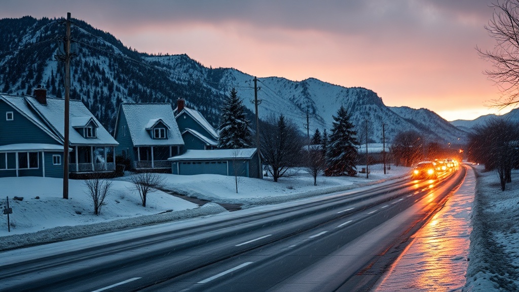
The National Weather Service has issued warnings for both mountain and valley regions, urging residents to prepare for changing weather conditions. The storm is expected to deliver rain in the valleys and snow in the mountains, with accumulations potentially reaching several inches in higher elevations. The timing of the storm is particularly noteworthy, as it coincides with the evening commute on Wednesday, raising concerns about road safety and travel conditions.
According to meteorologist John Smith from the National Weather Service's Salt Lake City office, the incoming storm is characterized by a cold front that could bring a temperature drop of up to 15 degrees in some areas. "We are looking at a significant change in conditions. Wednesday will see temperatures in the mid-40s, but by the time the storm hits, we expect temperatures to plummet into the high 20s and low 30s," Smith explained.
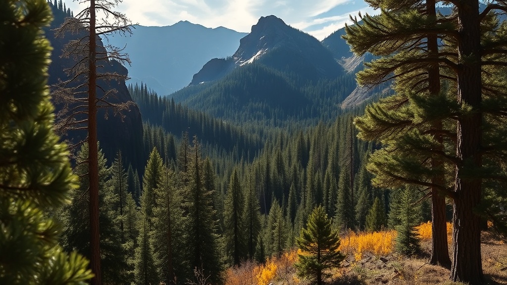
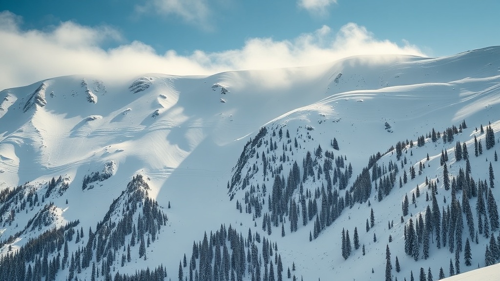
In mountainous regions, particularly in the Wasatch Range, snowfall is anticipated to begin late Wednesday afternoon, with forecasts suggesting that accumulations could reach anywhere from 4 to 8 inches by Thursday morning. Ski resorts in the area, such as Park City and Deer Valley, are preparing for the influx of snow, which could significantly enhance skiing conditions just in time for the holiday season. "We are excited about the possibility of fresh snow, as it allows us to open up more terrain for our guests," said a spokesperson for Park City Mountain Resort.
In the valleys, rain is expected to fall in the earlier hours of the storm, transitioning to snow as temperatures drop. Accumulations in valley areas are expected to be lighter, generally ranging from a dusting to 2 inches, depending on the elevation and specific location. However, the transition from rain to snow could create slick road conditions, prompting officials to advise caution for drivers. Salt Lake City and surrounding areas could see rain mixed with snow late Wednesday night, with travel advisories likely to be issued as the storm progresses.
In preparation for the storm, local authorities and the Utah Department of Transportation are mobilizing resources to ensure roads are cleared and safe for travel. "We are closely monitoring the storm and will have crews on standby to treat roads as necessary," stated Dianne Gibbons, a spokesperson for UDOT. Residents are encouraged to stay informed through local news channels and the National Weather Service for updates on road conditions and weather alerts.
The storm system is part of a broader weather pattern that has been affecting the western United States, bringing much-needed moisture to the region after a dry spell. This precipitation is particularly crucial as Utah continues to grapple with drought conditions that have persisted for several years. Water resource managers are optimistic that the storm will contribute to the snowpack, which is vital for the state’s water supply during the warmer months.
As Thursday dawns, the storm is expected to taper off, leaving behind a blanket of snow in the mountains and potentially icy conditions in the valleys. Residents should prepare for cold temperatures following the storm, with forecasts suggesting lows in the teens and twenties in many areas. This drop in temperature could lead to further challenges in the days following the storm, particularly regarding road safety as icy patches develop.
Looking forward, the weather forecast for the weekend appears to be milder, allowing for a temporary reprieve from the winter storm conditions. However, meteorologists caution that additional storms could arise in the coming weeks, reiterating the importance of staying updated on weather conditions as winter progresses.
In summary, Utahns should prepare for the impending storm that is expected to bring rain and snow beginning Wednesday afternoon. With careful planning and safety precautions, residents can navigate the weather changes while also enjoying the beauty of winter in the Beehive State. As always, staying informed and prepared is key to safely weathering Utah's winter storms.