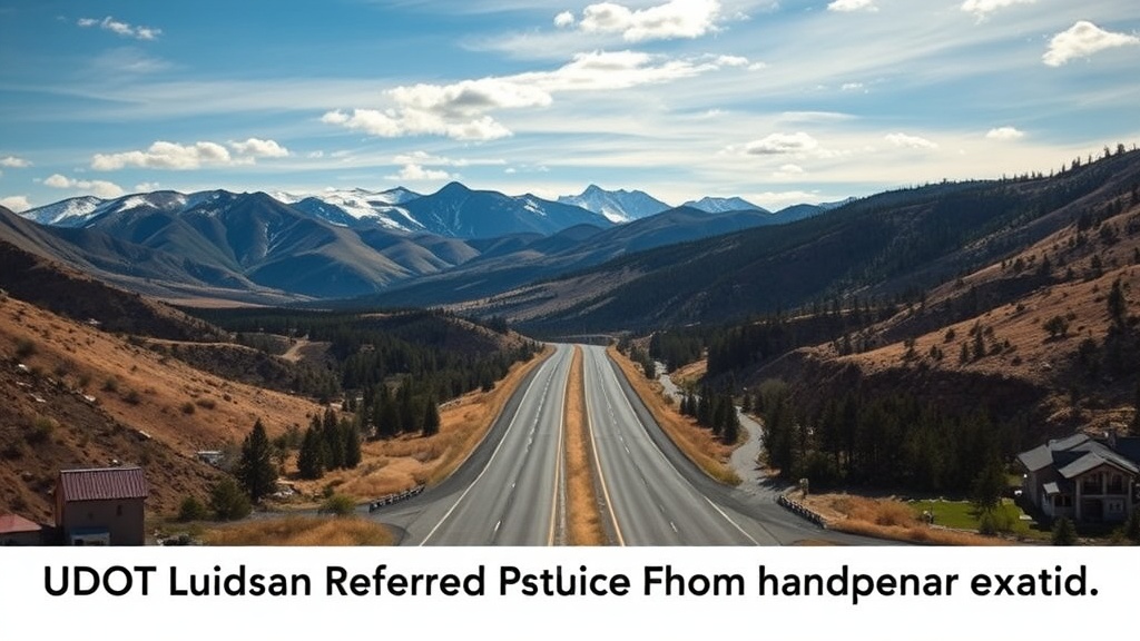
UDOT Announces Preferred Route for Heber Valley Bypass Project
UDOT identifies Alternative B as the preferred route for the Heber Valley Bypass, aiming to alleviate traffic congestion and protect local wetlands.
The Utah Department of Transportation (UDOT) has officially identified Alternative B as the preferred route for the Heber Valley Bypass, a significant infrastructure project aimed at alleviating traffic congestion in Heber City. The announcement comes following the release of the draft environmental impact statement, which outlines the project’s expected benefits and potential environmental impacts. With the region experiencing rapid growth, UDOT emphasizes the importance of this bypass in maintaining efficient transportation and preserving the character of historic Heber City.
The Heber Valley Bypass is designed to be a highway-style road that will run west of Heber City, featuring a multi-use trail and frontage roads to ensure local access while diverting traffic from U.S. 40 away from Main Street. This strategic move aims to enhance traffic flow and reduce congestion on Main Street, which has been a long-standing concern for residents and local businesses.
Alternative B will traverse the North Fields between Potters Lane and 900 North, estimated to cost approximately $760.5 million—almost $49 million more than the alternative route, Alternative A, which would have retained traffic on U.S. 40 between the same points. UDOT Project Manager Craig Hancock explains, “Alternative B provides the strongest long-term transportation benefit for the community. The Heber Valley is growing, and this solution will help keep people moving and protect historic Heber City Main Street into the future.”
The draft environmental impact statement, which has been in development since early 2020, highlights that Alternative B is superior for regional mobility, boasting faster travel times and shorter travel paths. UDOT's projections indicate that local travel time on Main Street from SR-32 to the intersection of U.S. 189 and U.S. 40 could reach 20 minutes and 30 seconds by 2050 if no action is taken. However, with the implementation of Alternative B, that time is expected to be halved to just 10 minutes and 15 seconds.
Furthermore, the proposed bypass is expected to improve local mobility by reducing the number of failing intersections and minimizing traffic queues on Main Street. Current projections suggest that traffic backups could reach a staggering 17,100 feet between 500 North and SR-32 by 2050, but Alternative B would bring this figure down to just 700 feet, a significant improvement over Alternative A’s estimate of 3,500 feet.
Despite its benefits, the bypass will not be without consequences. One of the primary concerns raised in the draft environmental impact statement is the impact on wetlands in the North Fields. Alternative B is projected to affect 54 acres of canals, ditches, perennial streams, and wetlands, a stark contrast to the 23 acres impacted by Alternative A. Hancock acknowledges the importance of the North Fields, stating, “We know that the North Fields are vital to the essence of the community, and we want to do as much as we can to protect this special area.” UDOT plans to prioritize wetland mitigation efforts, aiming to protect at least two acres for every acre of wetland affected.
In light of these potential environmental impacts, UDOT has committed to making the bypass a limited access road, preventing any further transportation access in the North Fields. Hancock assures the community, “UDOT would not allow access on the corridor except at interchanges shown. The land would be protected in perpetuity, not privately owned or up for development.”
In terms of community impact, Alternative B requires eight potential relocations of homes and businesses, a notable reduction from the 27 relocations that would have been necessary under Alternative A. Additionally, Alternative B will have fewer adverse effects on historic buildings, impacting only one compared to four for the alternative route.
Although Alternative B has been designated as UDOT’s preferred option, the decision remains open for public input. A public comment period for the draft environmental impact statement will commence on Friday and run through March 9. Residents are encouraged to voice their concerns regarding the chosen route through various channels, including the project’s website, phone, email, or traditional mail.
UDOT plans to present the draft environmental impact statement during upcoming meetings with the Wasatch County Council and the Heber City Council. Additionally, two public meetings are scheduled during the comment period: a Zoom meeting on January 27, which will not allow for public comments, and an open house on January 28 at the Wasatch High School library, where project team members will answer questions and a court reporter will record public comments.
The final environmental impact statement is anticipated to be released by summer, incorporating responses to public comments. Following its release, the bypass project can move forward into the construction phase, marking a pivotal step in addressing the growing transportation needs of the Heber Valley area.