Winter Weather Arrives in Utah After Record Warm December
Winter weather has arrived in Utah, bringing snow to mountains and lower elevations after a warm December.
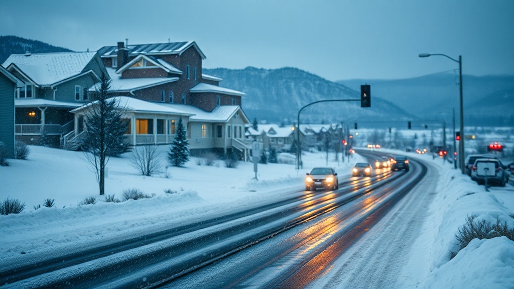
Winter has finally arrived in Utah after a historically warm December. The holiday weekend is expected to bring significant snowfall to the state's mountainous regions, with snow continuing through early Sunday. Higher elevations are forecasted to receive between 6 to 12 inches of snow, while areas like the upper Cottonwoods and the Bear River Range may see localized totals approaching 2 feet.
In the lower valleys along the Wasatch Front, rain has been observed, with snow accumulating on the benches. A chance of measurable snow remains late Saturday into early Sunday, though valley floors are anticipated to receive less than an inch. The first storm system is currently moving through Utah, bringing light snow to the mountains and rain to lower elevations.
Precipitation is expected to become more scattered on Saturday afternoon, with totals trending toward the lower end of initial expectations. A second, colder storm system is set to impact northern Utah late Saturday night into early Sunday, which will lower snow levels to valley floors as temperatures drop.
While the moisture from this second system is limited, it may still result in light accumulations in the valleys, with the possibility of lake-enhanced snow being a low-confidence factor. As temperatures cool to near or slightly below seasonal averages throughout the weekend, the weather is projected to stabilize early next week with drier conditions.
High pressure is building over the region, leading to quieter weather, although valley inversions may prevent lower elevations from warming significantly. There are indications of a potential pattern change later next week, but current confidence in this forecast remains low. Residents are encouraged to stay informed about weather updates as conditions evolve.