Wind Advisories Issued in Western Utah as Snow Approaches
Wind Advisories are active in western Utah as snow and strong winds approach. Drivers should exercise caution.
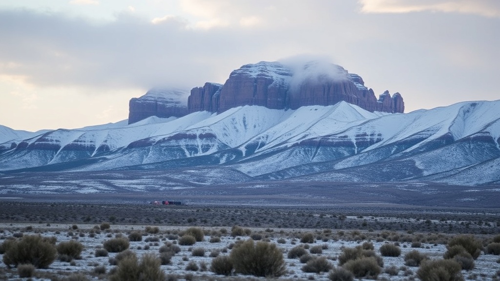
Utah is preparing for snow and strong winds as a storm system approaches the state. The National Weather Service has announced a Wind Advisory for several areas, including the Great Salt Lake Desert, Juab County, and Millard County. Winds are expected to range from 15 to 25 miles per hour, with gusts potentially reaching up to 45 miles per hour.
The Wind Advisory is in effect until 5:00 p.m. on Friday. Drivers are cautioned that these winds may create hazardous conditions, particularly for high-profile vehicles and those towing trailers. It is advisable to exercise caution while driving, especially on open roads.
This storm system is the first of two that are anticipated to impact Utah in the upcoming days. Forecasters predict that the first system will fully arrive by Friday night and continue into Saturday. Following this, a second, cooler system is expected to move into the state on Saturday night, extending into Sunday morning. This second system is likely to bring the most significant chances for measurable snowfall along the Wasatch Front.
As the weekend progresses, temperatures are expected to drop to or below seasonal averages. However, a rebound to near average temperatures is anticipated early next week. Midweek should see the return of high pressure, although air quality may be affected in some northern valleys due to inversions that could inhibit warming. Residents are encouraged to stay updated on weather conditions as these systems approach, particularly regarding travel and outdoor activities during the windy and snowy weather.