Weekend Weather Forecast: Valley Rain and Mountain Snow Expected in Utah
Northern Utah and SW Wyoming will see valley rain and mountain snow this weekend, with snowfall expected to start this afternoon.

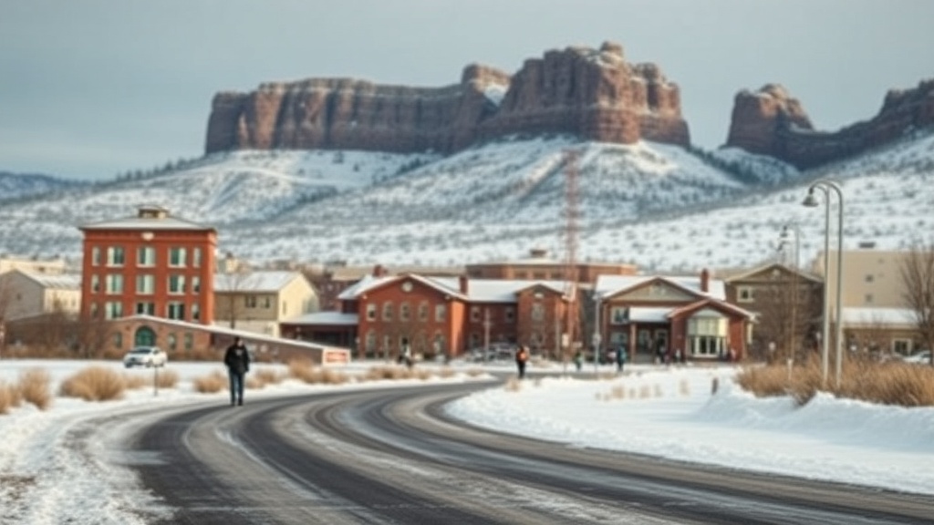
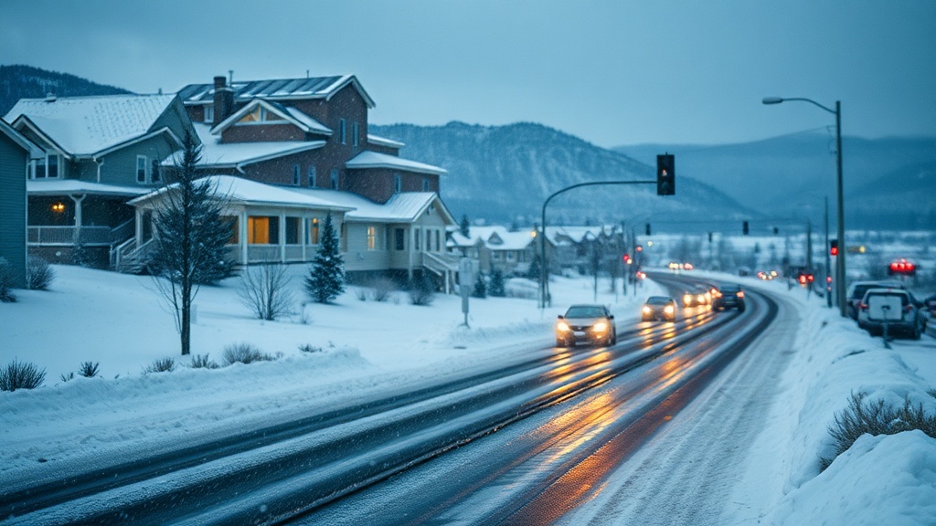
This weekend, Northern Utah and Southwestern Wyoming will experience a warm weather pattern bringing valley rain and high elevation mountain snow. Snowfall in the mountains is anticipated to start this afternoon, while rain along the Wasatch Front is expected to begin around sunset.
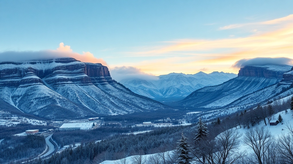
Winds in Southwestern Wyoming will be from the southwest at speeds of 25 to 35 mph. Snow accumulation is predicted to occur above 7,000 feet, with estimates of 2 to 6 inches in the mountains by late Saturday. In the Cottonwoods, 6 to 9 inches are possible, while the Western Uintas may see accumulations ranging from 6 to 12 inches.
After a brief lull, additional valley rain and mountain snow are forecasted for Sunday.
In Salt Lake City, Friday will be mostly cloudy with rain likely arriving by late afternoon and evening, with highs reaching the mid-50s. Overnight, rain will continue with lows around 40 degrees. Saturday's weather will be mostly cloudy, with rain tapering off in the morning and highs near 50 degrees. On Sunday, rain is again likely, with highs in the mid-50s.
In St. George, the weather will be sunny on Friday, with highs in the low 60s. Friday night is expected to be mostly clear, with lows near 40. Saturday will see a transition to partly cloudy skies with highs in the low 60s, and Sunday will remain partly cloudy, with temperatures reaching the mid-60s.
For real-time updates and forecasts, residents can download the Utah Weather Authority app or access interactive radar features. Additionally, signing up for severe weather alerts and traffic updates can provide timely information on changing conditions.