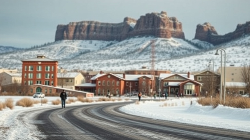
Chilly Weather Marks the Transition into 2025 in Utah
Utah is experiencing a chilly start to the end of 2025 with changing weather patterns expected.
This morning, cloud cover is expected to dissipate by late morning and early afternoon as a departing storm system moves away and high pressure begins to build. As the skies clear throughout the day, afternoon temperatures will likely remain close to or slightly below seasonal averages, marking a significant shift from the record warmth experienced earlier this month.
High pressure will dominate the weather at the start of the week, maintaining dry conditions across Utah. Early in the week, temperatures are projected to drop nearer to normal, before gradually rising back to above-average levels by midweek. However, valley inversions could restrict warming in some areas, yet overall, highs are still expected to trend above the seasonal norms.
Looking ahead to Thursday and beyond, there is an increasing likelihood of a more active weather pattern returning. A storm system currently located off the California coast is forecasted to move inland, potentially bringing increased valley rain and mountain snow late in the week.
While the timing and total moisture amounts are still uncertain at this point, confidence in unsettled weather conditions to welcome the new year is growing. Residents are encouraged to stay updated on the latest forecasts as the week progresses.