Utah's Wet Holiday Week: Rain and Snow Forecast Ahead
Utah will experience a wet holiday week with rain and snow from an atmospheric river, impacting temperatures and conditions state-wide.

An atmospheric river is set to impact Utah this holiday week, bringing above-average temperatures initially. The week will start off mild and dry, with daytime highs expected to hover around the low 60s, nearing record levels. However, strong winds are anticipated, with gusts exceeding 40 mph in various parts of the state until Wednesday.
On Wednesday, a significant influx of moisture will arrive, continuing through Christmas Day. This atmospheric river will deliver rain to lower elevations and heavy snow to mountain areas above 8,000 feet. Rapid runoff is a concern, as rivers, streams, and narrow canyons may experience rising water levels.
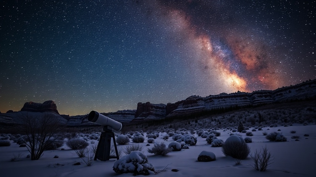
Higher elevations are likely to receive the most snowfall, especially in regions like Brian Head, the Tushar Mountains, and the slopes surrounding Boulder Mountain, where accumulations could exceed a foot. While widespread flash flooding is not anticipated, localized flooding may occur in some southwestern Utah areas due to substantial rainfall.
As the week progresses, colder air is expected to move in late Friday and into Saturday, leading to a drop in snow levels. By Friday evening, snow levels may descend to around 6,000 feet and could reach valley floors by Saturday morning.
Residents are encouraged to stay informed about the changing weather conditions. Access to real-time forecasts is available through the Utah Weather Authority app, and interactive radar can help track weather patterns across the state. For those interested, signing up for email alerts on severe weather and traffic updates is also recommended.