Utah's Weather: A Warm-Up Followed by Stormy Conditions for New Year's
Utah experiences a warming trend before stormy weather arrives for New Year's Day, bringing rain and snow.
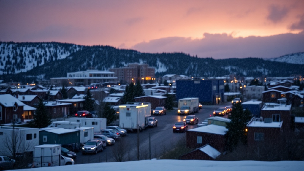
As 2025 approaches, Utah is experiencing a brief respite from winter's chill, with a warming trend bringing milder temperatures to the region. However, residents should prepare for an active weather pattern that is set to unfold just in time for New Year's Day. The forecast indicates that the transition from quiet conditions to stormy weather will lead to periods of both valley rain and mountain snow, raising questions about conditions for holiday celebrations across the state.
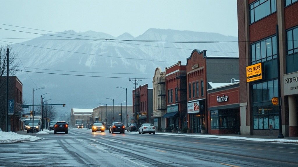
In Salt Lake City, the weather on Tuesday features sunny skies with slightly warmer temperatures, reaching highs in the low 40s. This slight uptick in warmth comes as a welcome change after an extended spell of cold and snowy conditions that have dominated the region leading up to the New Year. As evening falls, temperatures are expected to dip, settling near 30 degrees under partly cloudy skies. This trend of milder temperatures is projected to continue into Wednesday, providing a pleasant break from the winter weather that has characterized much of December.
Meanwhile, in St. George, situated in the southern part of the state, residents are also enjoying partly cloudy skies, with Tuesday's highs reaching the mid-50s. The evening will see temperatures dropping to the lower 30s, maintaining a cool but manageable winter evening. St. George's weather is often milder than that of northern regions, making it a popular destination for those looking to escape the harsher winter conditions.
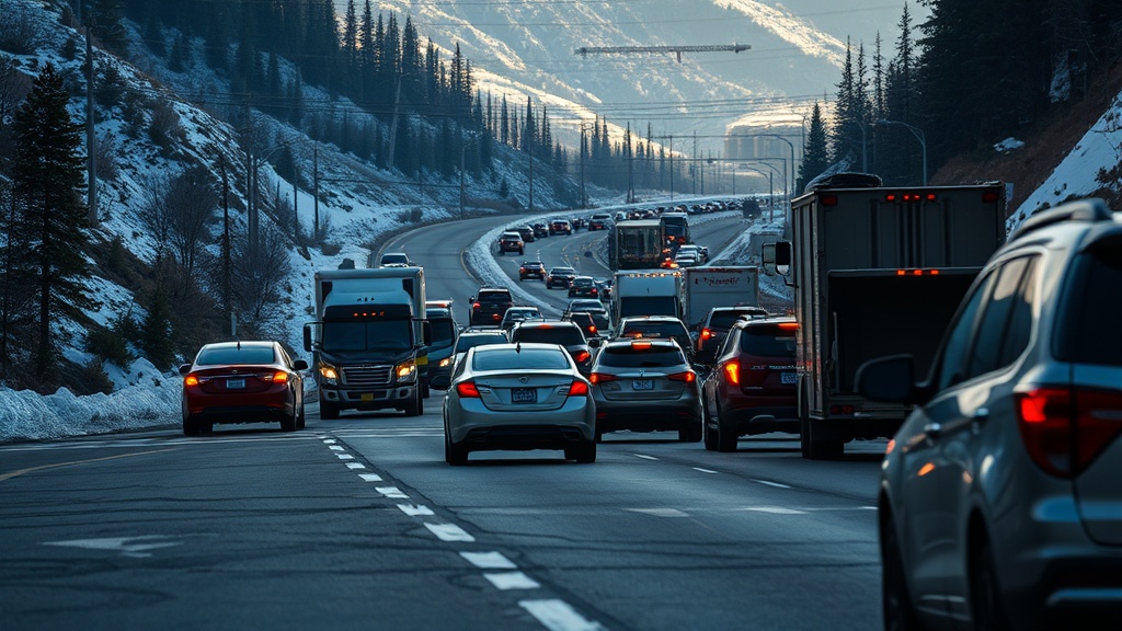
However, as the New Year approaches, weather patterns are expected to shift dramatically. Meteorologists are predicting a series of storm systems that will begin affecting Utah starting on New Year's Day and continuing into early next week. This upcoming active weather pattern is characterized by fluctuating temperatures and the likelihood of precipitation in various forms. The National Weather Service has indicated that valley areas can expect rain, while mountain regions may see significant snowfall, which could impact travel and outdoor plans.
The anticipated storms are expected to bring moisture to the region, which is particularly important following a dry spell that has left some areas with lower-than-average snowpack levels. The snowfall is crucial for the state's water supply, as it contributes to the reservoirs that supply water for agricultural, municipal, and recreational uses throughout the year. Local officials and water managers are closely monitoring the forecasts, as the snowpack levels dictate water availability for the warmer months ahead.
As Utah residents gear up for New Year's celebrations, they are advised to stay informed about the evolving weather patterns. Those planning outdoor events or travel should remain vigilant and prepared for changing conditions. The Utah Weather Authority app provides real-time updates and forecasts, allowing users to stay informed about the latest developments. Additionally, residents can access interactive weather radar to track storms and receive alerts for severe weather conditions.
In summary, while the current trend of warmer temperatures offers a brief interlude from winter's grip, Utahns should prepare for an incoming series of storms as they welcome the New Year. With the potential for both rain and snow, the changing weather conditions may affect travel plans and outdoor festivities. As the state transitions into a more active weather pattern, residents are encouraged to stay updated on forecasts and take necessary precautions to ensure a safe and enjoyable holiday experience.
As we move into 2025, the weather will serve as a reminder of the dynamic climate patterns that shape life in Utah, highlighting the need for preparedness and adaptability in the face of nature's unpredictability.