Utah's Christmas Weather: Wind, Rain, and Mountain Snow Forecast
Utah's Christmas weather brings record warmth, strong winds, and rain, followed by snow in higher elevations.
Utah is experiencing a significant weather pattern this Christmas holiday, characterized by warm temperatures, strong winds, and rainfall. This active weather system is expected to persist over the coming days, with record warmth continuing through Christmas Day. As a result, snow levels remain elevated, particularly in lower elevations. Strong southerly winds will be a notable feature, with gusts reaching 45 to 50 mph in western Utah, which may lead to blowing dust and reduced visibility in some areas, especially the West Desert.
An atmospheric river is currently affecting the state, bringing widespread rain. The heaviest rainfall is anticipated through early Thursday morning, with regions like the Pine Valley Mountains already receiving nearly two inches of rain. This rainfall has led to increased river and stream flows, raising the risk of runoff and high water conditions in washes, streams, and slot canyons in southern Utah, particularly at elevations below 8,500 feet.
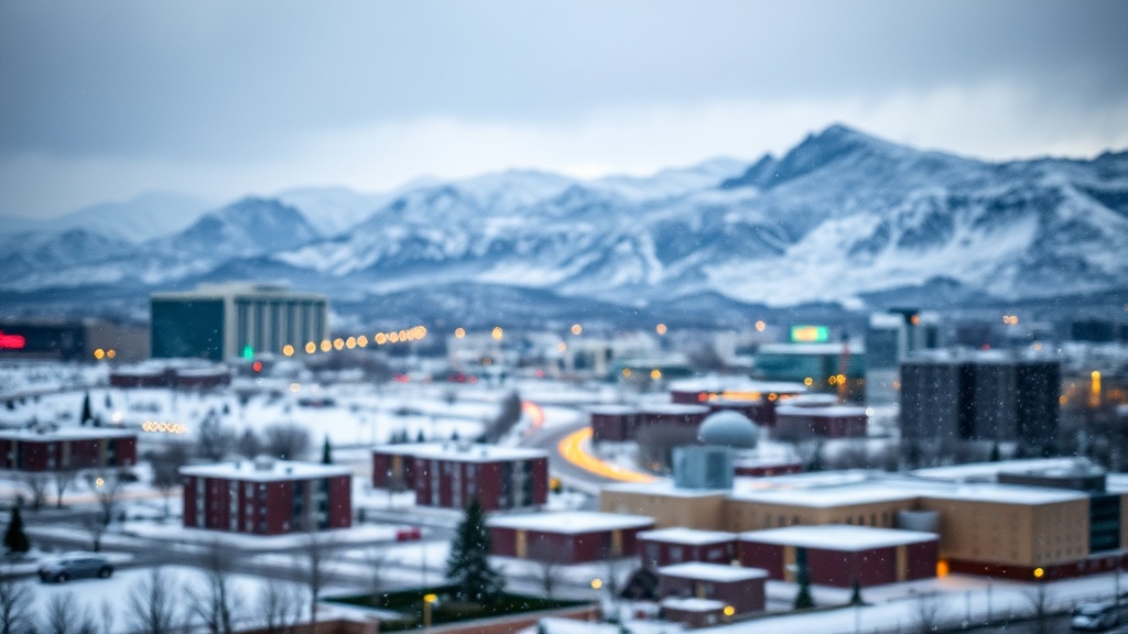
Snowfall is expected to be limited to higher elevations for the time being, generally above 8,500 to 9,000 feet. The southern mountains and western Uinta Mountains are forecasted to receive between 6 to 12 inches of snow by late Thursday. However, valley areas in northern Utah are unlikely to see significant snow accumulation due to the warm air and downslope winds prevailing in those regions.
Precipitation is anticipated to decrease briefly early Friday before another storm system approaches in the evening. This system will introduce a cold front that will lower snow levels and prolong snowfall in the mountains throughout the weekend. From Friday to Sunday morning, higher terrain areas across Utah may receive 8 to 14 inches of snow, with localized totals potentially reaching up to 20 inches. Although valley snow is not expected to be substantial, there remains a slight possibility that colder air could align with moisture to produce some snowfall in valley locations. Residents are encouraged to stay updated on the evolving weather conditions.