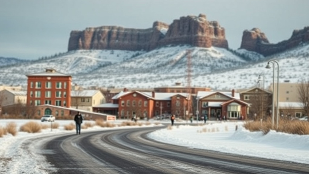
Utah Releases Interactive Wildfire Risk Map Amid New Tax Legislation
The Utah Division of Forestry, Fire & State Lands has launched a digital map highlighting wildfire risk areas in the state. This initiative coincides with House Bill 48, allowing local governments to impose additional taxes on properties in these high-risk zones.

The Utah Division of Forestry, Fire & State Lands has unveiled an interactive digital map designed to identify areas throughout the state that are at high risk for wildfires. This new resource is particularly significant in light of recent changes to state tax laws, specifically House Bill 48, which enables local governments to impose additional property taxes on properties situated in high-risk wildfire zones.
The map aims to provide residents, policymakers, and local governments with vital information regarding wildfire risks, which have increased due to various factors including climate change and ongoing drought conditions. It employs advanced technology to display data about areas susceptible to wildfires, making this information easily accessible to the public.
House Bill 48, passed earlier this year, empowers municipalities to assess higher property taxes on homes and businesses located in designated high-risk wildfire areas. The legislation came as a response to ever-increasing fire dangers and the financial implications that wildfires can have on communities. Through the new map, residents may gain a clearer understanding of whether their property falls within these high-risk zones, helping them to make informed decisions about fire safety measures and preparedness.
In addition to local taxation implications, the map also serves as a tool for emergency preparedness and management. Local fire departments and emergency response teams can utilize this information to prioritize resources in their fire prevention and mitigation efforts. Furthermore, it allows communities to strategize community programs aimed at improving fire resilience.
State officials emphasized the importance of public awareness in mitigating the risks associated with wildfires. The release of this digital map is part of a broader effort to equip residents with the knowledge they need to protect their properties and support fire prevention initiatives.
The digital map is now accessible on the Utah Division of Forestry, Fire & State Lands website, where residents can explore the wildfire risks specific to their areas and stay informed about local wildfire policies and preparedness resources.