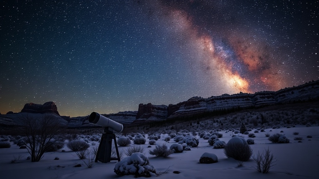
Utah Experiences Historic Low Snowpack Before Significant Winter Storm
Utah's snowpack hits record lows as a major winter storm approaches, promising significant snowfall.

PARK CITY, Utah – The average statewide snowpack in Utah has reached a record low of 2.7 inches, according to data from the Snow Telemetry (SNOTEL) system. This marks the lowest level since 1981 and breaks the previous December 26 record of 3.1 inches set in 2018. The low snowpack level is attributed to record-high temperatures across the state in November and near-record highs in December, which have led to significant melting at lower elevations and precipitation falling primarily as rain.
However, a winter storm is approaching, beginning to affect northern Utah, with initial light snow reported in the Logan area mountains and Cottonwood Canyons. Some locations are already seeing a few inches of snow. Strong winds from the southwest are bringing moisture into the region, with a shift to westerly winds expected overnight. The heaviest precipitation is anticipated from Friday night through Saturday morning, continuing into Saturday afternoon.
Forecasted snow totals for the storm include: Cottonwood Canyons: 12-22 inches; Park City Base/Town: 3-6 inches; Deer Valley/Park City Mountain Resort: 9-14 inches; Northern Wasatch (Powder Mountain/Snowbasin): 12-18 inches.
A second wave of the storm will arrive Saturday night, bringing colder temperatures and additional snowfall that may reach the Salt Lake Valley by Sunday morning. Temperatures are expected to drop by 20 degrees by Sunday, with 3 to 6 inches of snow predicted in Park City. Winds will shift to the northwest overnight, leading to drier air and winter-like conditions. Light snow showers are likely to taper off by late Sunday morning.
A winter weather advisory has been issued by the National Weather Service, forecasting widespread snowfall of 6-12 inches across many mountainous areas in Utah. While avalanche danger remains low to moderate in the Central Wasatch, experts from the Utah Avalanche Center caution that rain crusts can affect slope stability and contribute to the development of weak snow layers.