Unusual Warmth Expected on Christmas Eve in Utah
Christmas Eve in Utah will be unusually warm with temperatures near 60°F and potential snowfall in the mountains.

Despite a slight chance of early morning showers, the weather on Christmas Eve in Utah is expected to remain mild. High temperatures are projected to approach 60 degrees, setting records for the day. The warm conditions are anticipated to persist into Thursday, maintaining the trend of unseasonably high temperatures. As a storm system approaches the region, wind speeds are expected to increase, with gusts exceeding 45 mph likely in western Utah through Friday afternoon.
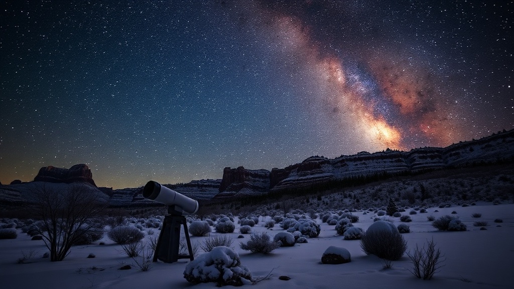
In the mountainous areas of southern Utah, particularly above 8,500 feet, snowfall is expected to accumulate between 6 to 12 inches from Wednesday through late Thursday. This includes the western Uinta Mountains, where conditions will warrant a Winter Weather Advisory for both Northern and Southern mountains until tomorrow afternoon. For regions below 8,500 feet, particularly in southern Utah, moderate to heavy rainfall is forecasted from Wednesday into Thursday.
By Friday afternoon, another storm system will arrive, bringing the potential for an additional 6 to 12 inches of snow in the mountains. Residents are urged to prepare for changing weather conditions as the holiday storm draws near, especially those traveling in mountainous areas. The combination of rain and wind may affect visibility and road conditions, so caution is advised.
For those wanting to stay updated on the latest weather developments, downloading the Utah Weather Authority app is recommended. This app provides real-time forecasts and alerts to keep residents informed. Additionally, interactive radar tools are available to track weather patterns across the state, ensuring that everyone can plan accordingly during this unusual holiday weather event.