Unseasonably Warm Weather Expected Through Christmas with Rain and Snow
Record warmth continues through Christmas with rain and snow expected soon.

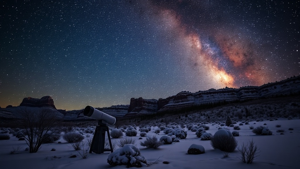
The region is experiencing record warmth, with temperatures remaining unseasonably high leading up to Christmas. Gusty winds are adding to the unusual weather patterns, affecting local conditions. As Christmas Eve approaches, the forecast predicts the return of rain in the valleys and snowfall in the mountains. This shift in weather is expected to begin on Christmas Eve and continue into Christmas Day. Residents can anticipate a mix of precipitation as the warm air interacts with colder systems moving into the area.
Looking ahead, forecasters indicate that colder air will sweep into the region later in the week, potentially leading to more typical winter weather conditions. This change could bring snow and lower temperatures, impacting travel and outdoor activities. As the holiday season progresses, it’s essential to stay updated on weather alerts, especially for those planning to travel during this period.
The unusual warmth experienced this December is part of a broader trend, with many areas reporting above-average temperatures. Local meteorologists are monitoring the situation closely, as the combination of warm air and incoming precipitation could lead to varying weather conditions. As the holiday nears, residents should prepare for both rain and snow, which may affect holiday plans.
In summary, the area is set to experience record warmth followed by a return of wet weather over Christmas. A transition to colder temperatures is expected later in the week, indicating a shift back to winter-like conditions. This ongoing weather pattern highlights the variability of Utah's climate, particularly during the winter months, and underscores the importance of adapting to changing conditions.