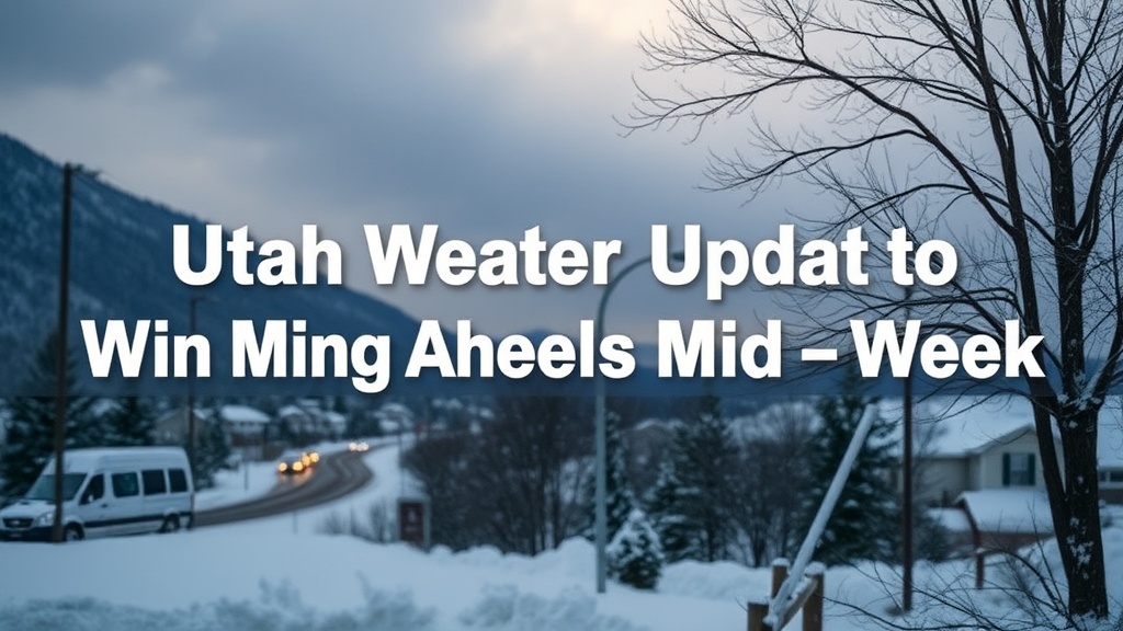
Utah Weather Update: Warming Ahead of Mid-Week Storm Forecast
Utah is experiencing cold temperatures, with a storm expected late Wednesday. A warm-up is on the way before New Year's Day rain.
Utah is experiencing a chilly start to the week, marking the coldest temperatures of the season so far. However, these temperatures are in line with seasonal averages for this time of year. Following an unusually warm December, residents are readjusting to these cooler conditions.
Temperatures are expected to rise gradually over the next few days as a storm system approaches. This storm is predicted to arrive late Wednesday night and continue into Thursday. Current forecasts suggest that the weather will remain dry through New Year's Eve, transitioning to widespread rain on New Year's Day.
Similar to previous storms this season, the upcoming weather is expected to be relatively warm, with rain anticipated in the valleys and snow confined to higher elevations. This pattern may limit snowfall accumulation at ski resorts.
Looking ahead, unsettled weather is forecasted, bringing additional rain to the valleys and snow to the mountains throughout the weekend and into the early part of next week.
In Salt Lake City, Monday is predicted to be sunny with high temperatures reaching the upper 30s. Monday night will bring clear and cold conditions with lows around the mid-20s.
In St. George, residents can expect a sunny Monday with high temperatures in the low 50s. Monday night will feature mostly clear skies and lows in the upper 20s.
For real-time weather updates, residents can download the Utah Weather Authority app, track weather patterns with the interactive radar, and sign up for daily weather forecasts delivered directly to their inbox.