Utah Snowfall Surges as Forecaster's Absence Coincides with Major Storms
Utah's snowpack receives a boost as forecaster Evan Thayer travels, coinciding with major winter storms sweeping the region.
As winter settles in across Utah, the state's snowpack has received a much-needed boost, coinciding with the absence of local forecaster Evan Thayer, who humorously claims that his travels guarantee snowfall in the region. Thayer's recent trip to Canada for heli-skiing has seemingly aligned perfectly with the arrival of significant winter storms, bringing joy to skiers and snowboarders eager for fresh powder.
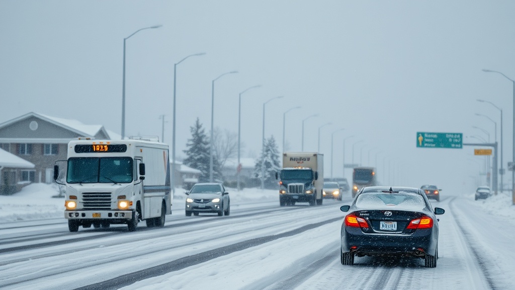
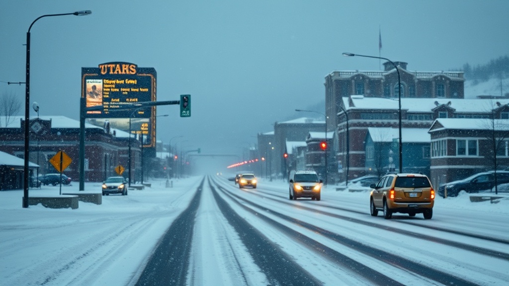
Following a warm storm that brought only a few inches of wet snow to Park City and Deer Valley during the New Year, Utah was greeted by a colder, more robust weather system over the weekend. This storm, which spanned from Saturday night through Monday, delivered about 18 inches of new snow in higher elevations, marking the most substantial snow accumulation of the season thus far. Importantly, this storm also allowed snow to fall in the town itself for the first time this winter, enhancing the festive atmosphere of the ski season.
The snowfall has significantly improved the snowpack levels across the state. Data from the Thaynes Canyon SNOTEL site, a critical measure of snowpack, indicates that the current snowpack stands at 84% of the median for this time of year. This improvement has alleviated concerns that the season might be among the worst on record, a fear that had been lingering among local residents and businesses dependent on winter tourism.
In the coming days, Utah is set to experience yet another storm system, forecasted to arrive on Wednesday evening. This upcoming weather event promises to bring additional snowfall, thanks to a cold front moving in from the northwest. Meteorologists predict snow levels will descend to the valley floors, ensuring widespread coverage across the Wasatch Front. This storm is expected to deliver 5 to 10 inches of fresh snow to Park City and Deer Valley, with higher elevations potentially receiving more.
Thursday is anticipated to be a particularly exciting day for mountain enthusiasts, as snow will continue to accumulate throughout the day. With favorable conditions, terrain openings may also take place, enhancing the skiing experience. Notably, the colder temperatures associated with this storm will create ideal conditions for snow-making, an essential aspect for local ski resorts that have struggled with warmer-than-usual weather in recent weeks.
While the recent storm systems have improved the overall snow conditions, experts caution that it would be premature to declare a complete turnaround for the winter season. The coming week may see a return to high-pressure systems, leading to drier conditions and a temporary halt in snowfall. However, long-range weather models suggest that colder air and potential storms could return around the Martin Luther King Jr. holiday, providing hope for continued snowfall as winter progresses.
For those seeking up-to-date forecasts and detailed snow reports, Evan Thayer’s Utah Daily Snow forecast can be accessed through OpenSnow.com and the OpenSnow app. As skiers and snowboarders gear up for an exhilarating winter season, the recent weather patterns offer a promising outlook for Utah’s mountainous regions, revitalizing optimism among locals and visitors alike.
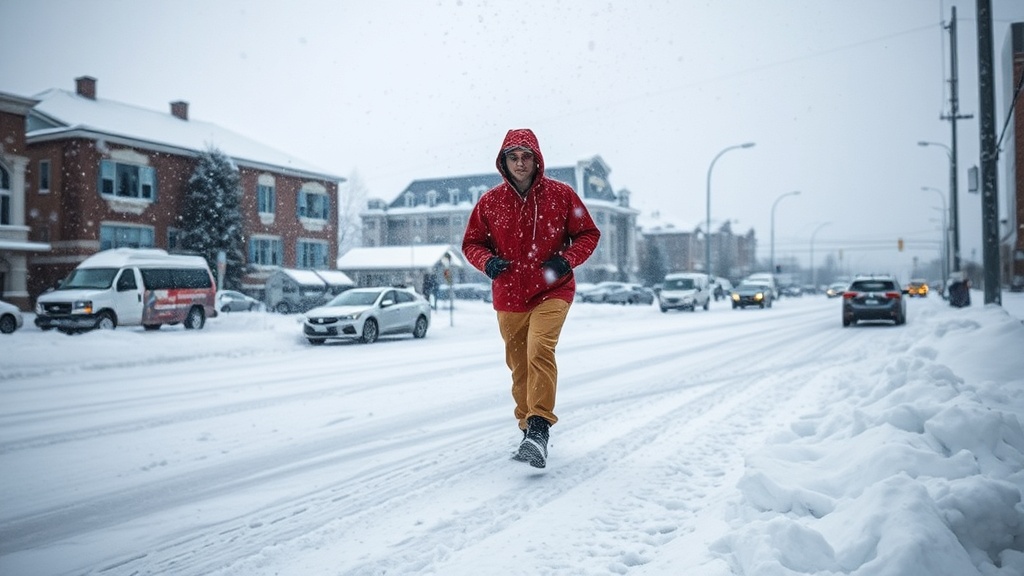
As the landscapes transform into a winter wonderland, the community looks forward to enjoying the slopes and embracing the seasonal spirit, knowing that the snow has finally arrived. The combination of Thayer's absence and favorable weather has set the stage for what many hope will be a memorable winter, marked by powder days and thriving ski conditions.