Rain and Snow Transition in Utah as Storm System Moves Out
Utah faces transitioning weather as storms bring rain and snow, impacting safety and water resources.
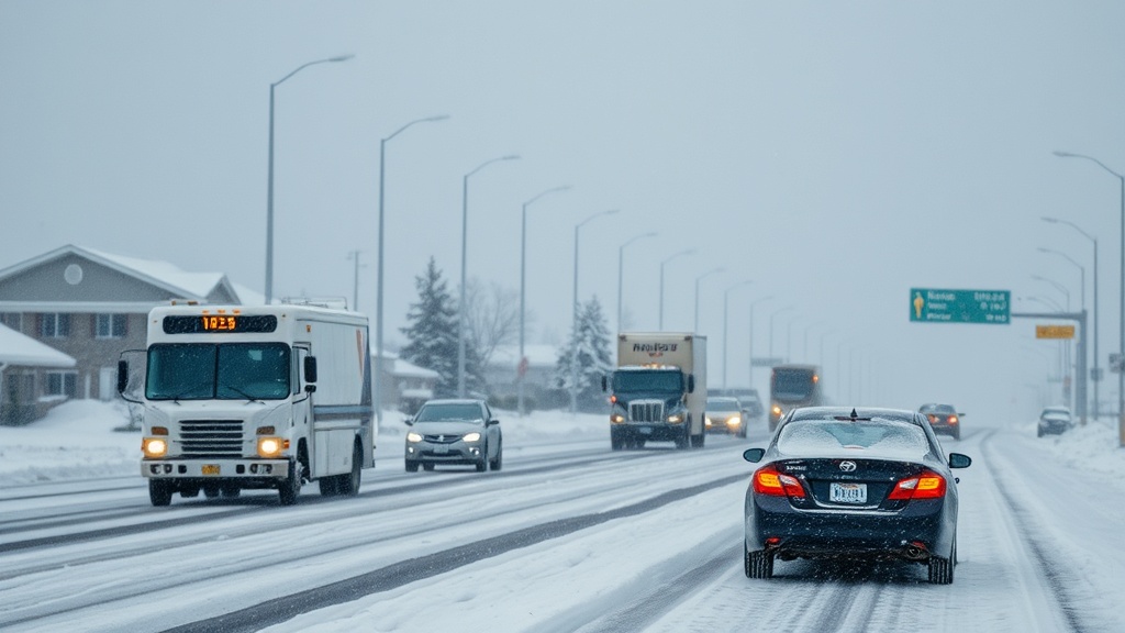
As Utah experiences a shift in weather patterns, residents are witnessing the aftermath of a storm system that swept through the state on Monday. The storm, characterized by significant rainfall in the valleys and snowfall in the mountains, is expected to exit by Monday afternoon, paving the way for drier conditions in the coming days. According to the National Weather Service (NWS), the storm has significantly impacted various regions, bringing much-needed moisture but also presenting challenges for local communities.
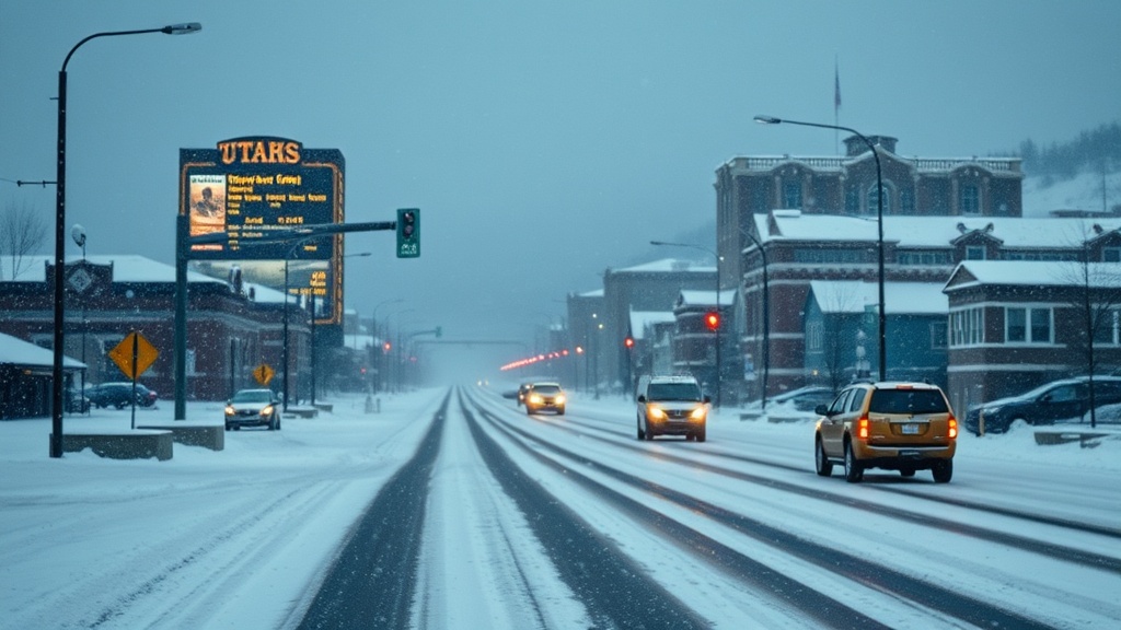
The precipitation began early Monday, with light rain reported in urban areas and heavier snowfall accumulating at higher elevations. Ski resorts in the Wasatch Range welcomed the snow, anticipating that it would enhance their winter season. Alta, one of Utah's premier ski destinations, reported up to six inches of fresh snow by midday. "This storm is a boon for us," said Alta Resort manager, John Smith. "Every inch counts as we prepare for the busy ski season ahead."
While the storm has been beneficial for ski resorts, it has also raised concerns regarding road safety. The Utah Department of Transportation (UDOT) issued warnings for drivers traveling in the mountains, advising caution due to slick and icy conditions. "Our plow crews are working around the clock to keep roads clear, but drivers should still be mindful of changing conditions," said UDOT spokesperson, Sarah Johnson. Reports of minor accidents and spin-outs have been noted, particularly in the mountain passes, underscoring the need for vigilance on the roads.
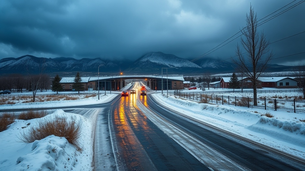
As the storm system begins to move out of the region, residents can expect a brief reprieve from the wet weather. Tuesday and Wednesday morning will bring drier conditions, allowing for a chance to dry out before another storm system approaches. The NWS indicates that a quick-moving storm from the northwest is set to arrive late Wednesday night, bringing another round of snow to the mountains and potentially impacting valley areas as well.
Meteorologist Tom Williams stated, "This upcoming storm is expected to be fast-moving but could deliver significant snowfall in the higher elevations. We are monitoring this closely and advising residents to prepare for winter driving conditions once again."
In addition to the immediate weather concerns, experts are also looking at the long-term implications of these storm patterns. With Utah experiencing a prolonged drought in recent years, the precipitation from these storms is crucial for replenishing water resources. Snowpack is a vital indicator of water supply for the state, and as of now, officials are hopeful that the recent storms will contribute positively to the overall snowpack levels.
"Every storm helps, especially after a dry spell. Our reservoirs depend on a good snowpack to ensure we have the water supply needed for the summer months," explained Utah State Water Engineer, Lisa Martinez. The state has seen fluctuating water levels in recent years, and the upcoming months will be critical in determining how well Utah can manage its water resources moving forward.
Looking ahead, residents are advised to stay informed about changing weather conditions. The NWS will continue to issue updates as the new storm approaches, and local agencies are preparing for potential impacts. "We encourage everyone to stay tuned to weather forecasts and heed any warnings or advisories issued by local authorities," said Johnson from UDOT.
In conclusion, while the rain and snow from Monday's storm brought both benefits and challenges, the upcoming weather patterns in Utah will continue to play a significant role in the region's winter landscape. As the state prepares for more precipitation, the focus remains on ensuring safety for residents and maximizing the benefits of the much-needed moisture. With the unpredictability of weather patterns, Utahns are reminded of the importance of preparedness and awareness in navigating their winter environment.