Mild Weekend Ahead in Utah; Cold Front and Storms Expected Next Week
Utah enjoys a warm weekend with highs near 70, but a cold front brings storms next week, altering the pleasant weather.
As Utah experiences a pleasant weekend reminiscent of spring, residents can expect a significant change in weather as a cold front approaches early next week. High-pressure systems will maintain mild conditions across the state, leading to temperatures that are well above the seasonal average. This weekend's weather promises to be sunny and warm, with highs reaching nearly 60 degrees in Salt Lake City and around 70 degrees in St. George. This shift to warmer temperatures marks a welcome reprieve from the winter chill that has characterized the previous weeks.
Meteorologists forecast that the high pressure will lead to persistent valley inversions, resulting in some hazy conditions and moderate air quality. While the warmth will be enjoyable for many, it also means that residents should be prepared for the possibility of reduced visibility in certain areas due to the haze. The inversion phenomenon occurs when warmer air traps cooler air close to the ground, which can exacerbate pollution levels, particularly in urban areas like Salt Lake City.
Looking ahead to early next week, the calm weather will be disrupted by the arrival of a cold front, bringing a mix of valley rain and mountain snow starting late Monday into Tuesday. The most substantial precipitation is expected to affect northern Utah, with forecasts suggesting that the storm could be relatively fast-moving. This aspect may limit the overall accumulation of snow, but meteorologists are predicting significant snowfall in the higher elevations. Early estimates indicate that northern mountains could see between 6 to 14 inches of snow, while the higher terrain in central and southern Utah may receive 3 to 10 inches.
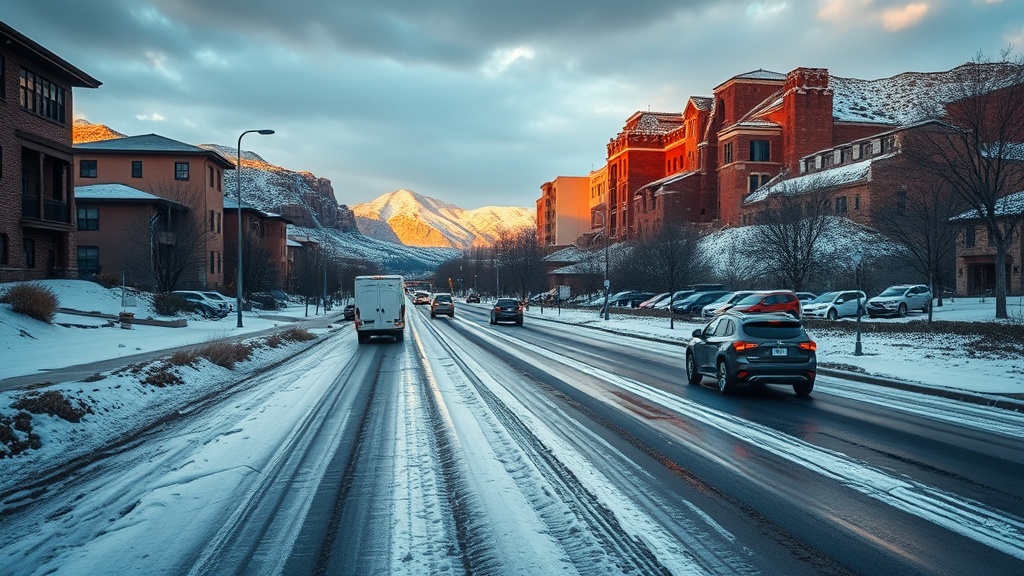
The Utah Division of Emergency Management has advised residents to stay informed about the upcoming weather changes and prepare for potential winter driving conditions. With these forecasts in mind, people planning to travel in the mountains should consider adjusting their plans accordingly and stay tuned for the latest weather updates. The National Weather Service will provide ongoing assessments as the storm approaches, ensuring that residents have timely information to navigate any adverse conditions.
Throughout the week, Utahns can expect a series of storms to roll through the state, contributing to cooler and more unsettled weather conditions. The likelihood of light precipitation will remain, especially in areas that experience the most significant effects from the cold front. This indicates a transition from the mild, sunny conditions of the weekend to a wetter, cooler atmosphere that may persist for several days.
In Salt Lake City, Friday will kick off with mostly sunny skies and temperatures peaking near 60 degrees. The pleasant weather will continue into the evening, with partly cloudy skies and lows dipping into the upper 30s. Saturday is expected to remain sunny, with highs reaching the upper 50s, similar to Sunday, which should also bring mostly sunny conditions. These mild temperatures provide an excellent opportunity for outdoor activities, especially as residents enjoy the last vestiges of winter before the storms arrive.
Meanwhile, in St. George, the warm weather will be even more pronounced. Highs are expected to reach near 70 degrees throughout the weekend, with partly cloudy skies on Friday transitioning to completely sunny conditions on both Saturday and Sunday. These warm temperatures are ideal for those looking to escape the chill of northern Utah, as many people take advantage of the spring-like weather to engage in outdoor activities such as hiking and biking.
As the weekend comes to a close, residents should prepare for the impending storm system that will alter the pleasant weather. It is crucial for Utahns to pay attention to weather alerts and updates from local meteorological services. With a significant change in conditions on the horizon, planning ahead will be essential for safe travels and outdoor activities.
For real-time weather updates, residents are encouraged to download the Utah Weather Authority app or sign up for email alerts from local news stations. These resources will provide timely notifications about changing weather conditions and help residents stay informed in the face of rapidly changing forecasts.
With these developments in mind, Utahns are reminded that while the weekend may offer an inviting taste of spring, the unpredictable nature of the weather can quickly shift, leading to winter conditions once again. Therefore, staying informed and prepared is vital as the state navigates this transition in weather patterns.