Midweek Storm Approaches Utah: Potential for Valley Snow and Rain
Utah faces a midweek storm bringing potential valley snow and rain, following a dry Tuesday.
Utah residents can expect a brief respite from wet weather today, as drier conditions settle in following Monday’s stormy weather. However, meteorologists are closely monitoring a new, fast-moving storm system anticipated to arrive in the state Wednesday. This weather event is expected to bring a combination of valley rain and mountain snow, with the potential for valley snow as colder air moves in, particularly into Thursday.
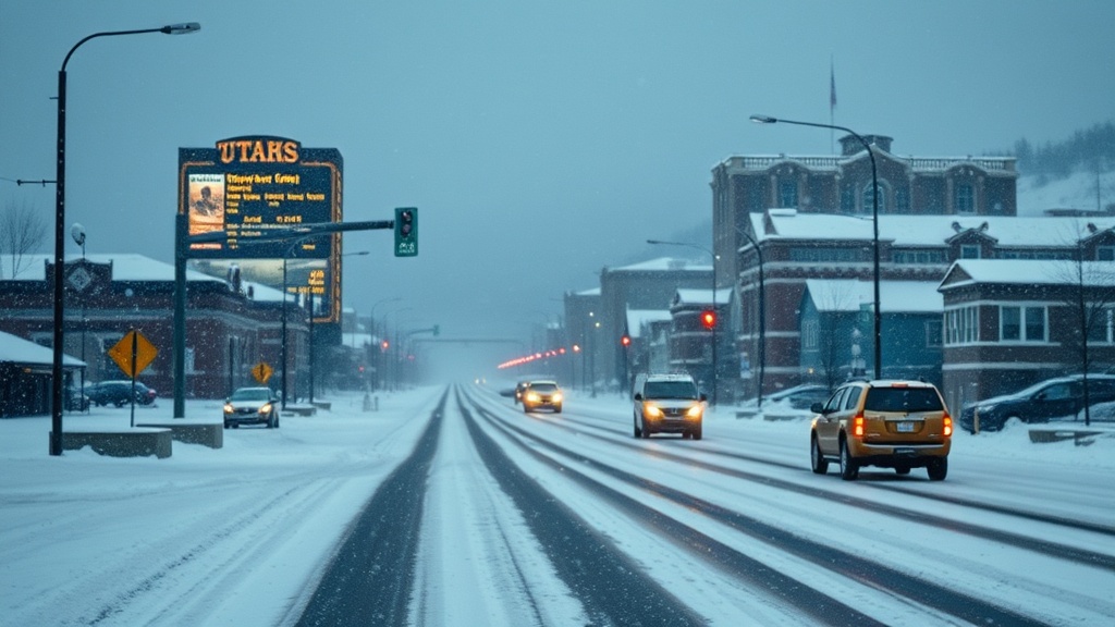
In the wake of Monday’s storm, which brought significant precipitation across various regions in Utah, today offers a temporary break. The National Weather Service reported that many areas experienced rainfall, with higher elevations receiving substantial snowfall. Salt Lake City recorded up to 0.5 inches of rain, while mountainous regions saw snow accumulations ranging from 6 to 12 inches. This moisture is crucial for the state, especially as Utah continues to recover from prolonged drought conditions that have affected water resources and agriculture.
Meteorologist Brian McInerney with the National Weather Service indicated that today’s dry conditions will be short-lived. "We are looking at a quick-moving storm system that will start impacting Utah late Wednesday. Initially, we will see rain in the valleys and snow in the mountains, but as the temperatures drop on Wednesday night, we may transition to snow in the valleys as well," he explained.
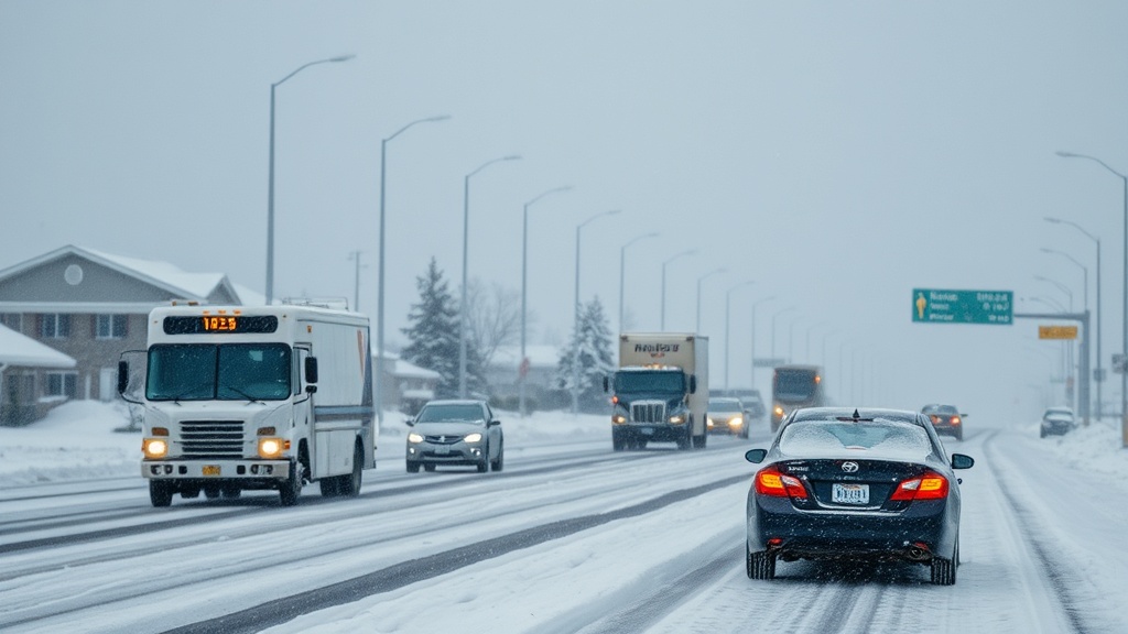
The transition to snow in the valleys is particularly noteworthy as it could lead to hazardous driving conditions. The storm is expected to move into the state by the afternoon hours, bringing rain that may mix with snow at lower elevations. By Wednesday evening, temperatures are projected to plummet, potentially leading to snow accumulation in the valleys. McInerney cautioned that while the snow accumulations may not be significant, any accumulation on roadways could create slick conditions for evening commuters.
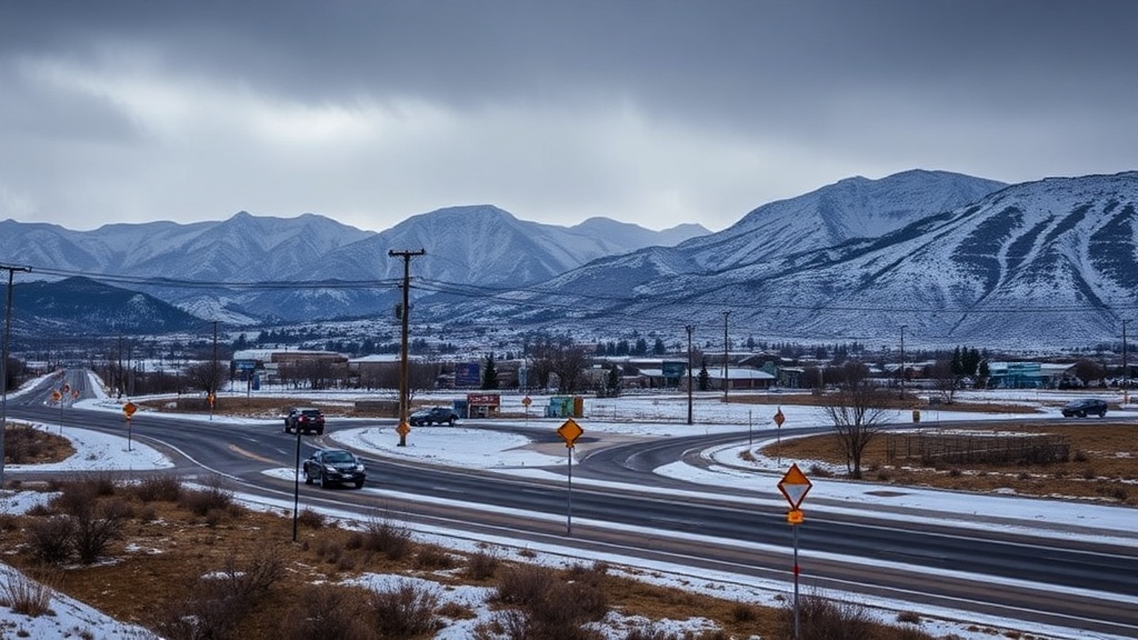
In the mountains, the forecast calls for a more substantial snowfall, with projections of an additional 6 to 12 inches possible by Thursday morning. This snowfall is welcomed by ski resorts preparing for the upcoming winter season. Local ski areas have reported that the recent storms have already enhanced their snowpack, making conditions favorable for skiing and snowboarding.
As the storm progresses into Thursday, forecasters predict that the snow levels may linger longer than initially anticipated. "We could see light snow showers continuing into Thursday, particularly in the northern and central parts of the state," McInerney added. This could lead to more significant accumulations in the higher elevations and continued snowfall in the valleys, especially during the morning hours.
Looking ahead, the weather pattern seems to remain active with additional storm systems possibly moving into the region later next week. This ongoing pattern of moisture is essential for Utah, as the state relies heavily on winter snowpack to replenish reservoirs and support agriculture throughout the year. The Utah Division of Water Resources recently reported that the state’s water supply remains below average, and consistent snowfall will be crucial in aiding recovery efforts.
For residents and travelers, it is imperative to stay informed about changing weather conditions. The National Weather Service encourages individuals to monitor local forecasts and be prepared for winter driving conditions. Those planning to travel in mountainous regions should also be cautious and equipped for winter weather, as road closures and delays are possible due to heavy snowfall.
In conclusion, while Utah enjoys a brief dry spell today, the approach of a new storm system signals a return to wet and snowy conditions. With the potential for valley snow developing by Wednesday evening, residents should prepare for possible travel disruptions and stay updated on weather advisories. As winter progresses, the state remains hopeful for continued snowfall to alleviate drought concerns and support its vital water resources for the months ahead.