Winter Storm to Bring Up to Two Feet of Snow to Utah's Wasatch Mountains
A major winter storm is set to deliver up to two feet of snow to Utah's Wasatch Mountains, enhancing ski conditions and impacting local weather.
PARK CITY, Utah – A significant winter storm is poised to impact the Wasatch Mountains, with forecasts predicting snowfall totals ranging from 14 to 24 inches in certain areas from Saturday night through Monday. As the storm approaches, southwest winds are expected to pick up strength on Saturday afternoon, signaling the beginning of a multi-day weather event that will bring substantial snow and alter conditions across the region.
The National Weather Service has reported that snow levels will initially rise to around 8,000 feet as moisture begins to move into Utah, ushering in light mountain showers. These showers are forecasted to deliver a few inches of snow overnight, setting the stage for a more intense phase of the storm that will start Sunday evening.
As the storm intensifies, snow levels are predicted to drop to approximately 7,500 feet by Sunday afternoon, allowing for increased snowfall accumulation as a second wave of moisture arrives. Meteorologists anticipate that snow levels will continue to decrease overnight, reaching around 6,000 feet by Monday evening, which could result in snowfall at lower elevations, including populated areas.
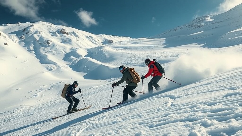
Forecasts indicate that by the time the storm system exits on Tuesday morning, the Cottonwood Canyons could see between 14 and 24 inches of fresh snowfall, significantly enhancing skiing conditions. The Park City base area is expected to receive around 2 to 5 inches by Monday, while Deer Valley and Park City Mountain Resort could see between 8 and 16 inches. The Northern Wasatch, including areas like Powder Mountain and Snowbasin, is forecasted to receive between 9 to 18 inches, making it an ideal destination for winter sports enthusiasts.
The final push of the storm on Monday is expected to bring a cold front, resulting in a shift to more westerly winds and an additional burst of snowfall, particularly in the higher elevations. As snow showers taper off by Monday evening, the weather will remain unsettled, leaving a chance for lingering flurries into Tuesday.
This winter storm follows closely on the heels of last week’s New Year’s storm, which delivered 7 to 14 inches of heavy, wet snow across the Wasatch. The previous storm caused significant disruptions at local ski resorts, particularly in Little Cottonwood Canyon. Alta experienced a power outage that impacted the Wildcat and Collins base area lifts, while delays at Snowbird led to long wait times for eager skiers and snowboarders.
Looking ahead, the weather pattern indicates that the large-scale low-pressure system responsible for this storm will move further inland by Tuesday, splitting and drifting southward from the primary storm track. This shift may allow for some light mountain showers on Tuesday, though the latter half of the week is projected to be quite active. Various weather models are suggesting that a series of storms will impact the area from Wednesday through Friday, potentially dropping an additional foot of snow in the Northern Wasatch.
The implications of these winter storms extend beyond just recreational opportunities. With the recent snowfall, water levels in reservoirs benefiting from snowmelt in the spring will likely improve, helping to alleviate some of the water shortages faced in previous years. Moreover, the influx of visitors to ski resorts can provide a boost to the local economy, particularly as the holiday season comes to a close and residents look to enjoy outdoor activities.
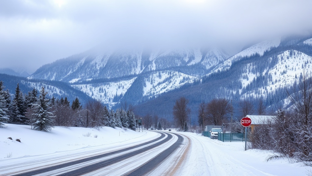
As the storm system progresses, local authorities and the National Weather Service will continue to monitor conditions closely. Residents and visitors alike are encouraged to prepare for winter weather impacts, particularly on roadways and in ski areas. Travelers should expect potential delays and be ready for varying weather conditions as they plan their weekend activities.
In conclusion, Utah’s Wasatch Mountains are bracing for a potentially historic winter storm, with significant snowfall anticipated over the next several days. As the winter season continues to unfold, the region’s ski resorts and outdoor enthusiasts are eagerly awaiting the fresh powder that will enhance the winter sports experience and contribute to the state's water resources for the coming year.