Utah's Weather Forecast: Warm Conditions Persist This Week
Utah braces for another week of warm weather, with rain likely impacting lower elevations. Skiers hope for snow as conditions remain inconsistent.
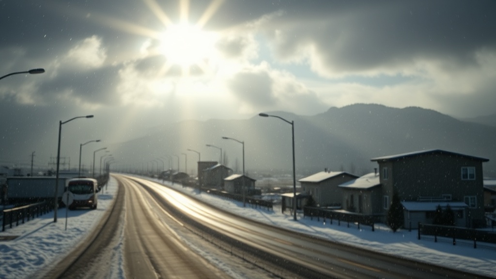
As the New Year approaches, Utah residents are preparing for yet another week of warm and wet weather, reminiscent of the previous week’s forecast. A persistent low-pressure system off the California coast is expected to influence conditions across the state, bringing with it a warm, moist southwest flow. This atmospheric setup is likely to elevate snow levels, raising concerns among skiers and snow enthusiasts as rain is predicted for the initial day of the year.
Meteorologist Evan Thayer from OpenSnow has provided insights into the upcoming weather pattern, highlighting that the first day of January will likely feature rain at lower elevations, particularly impacting areas like Park City and Deer Valley. The warm conditions are expected to persist into the first week of January, creating a sense of déjà vu for those familiar with last week’s weather events.
"We’re seeing high snow levels, likely at or above 8,000 feet, so rain is the main concern for lower altitudes," Thayer noted. Despite some snowfall over the weekend, with reports of a foot or more in higher elevations, the overall snowpack remains below average. Thaynes Canyon, a prominent location within Park City Mountain Resort, is currently at just 64% of its median snowpack, indicating a concerning trend for winter sports enthusiasts.
Snowfall this season has been inconsistent, particularly at lower elevations, as many storms have carried warmer air. This disparity has resulted in a significant delta between snowfall at high elevations versus lower areas. For example, while the upper mountain may receive several inches of snow, the lower elevations are more likely to experience rain.
Looking ahead, late Wednesday night into early Thursday morning, showers are anticipated to develop, with accumulating snow primarily confined to the highest peaks. Thayer emphasizes that only modest snow amounts are expected for the upper mountain, a situation that has left many skiers and snowboarders hoping for a change in the weather pattern.
"The forecast models indicate that the core of the storm system will move inland by Sunday, but we are wary of its strength as it approaches Utah. Previous systems have weakened significantly, and this one might follow suit," Thayer cautioned.
The weather pattern resembles last week’s scenario, where a two-part storm delivered warm conditions initially followed by a cooler wave. However, confidence in snowfall totals remains low due to the anticipated weakening of the system as it approaches the state.
Thayer’s commitment to monitoring the weather has taken a personal turn as he plans a last-minute trip to British Columbia for a helicopter skiing adventure to ring in the New Year. He humorously reflects on his past experience with helicopter travel, which was less than enjoyable, but expresses optimism about this new endeavor.
"I expect this go-around to be significantly more enjoyable than the last time I was in a helicopter," he quipped, referring to a traumatic incident where he was airlifted from Solitude after a skiing accident years ago.
For local residents and visitors looking forward to skiing or snowboarding in the coming weeks, the continued warm temperatures and unpredictable weather may necessitate adjustments in plans. As Thayer concludes, Utah's weather patterns often shift dramatically, particularly when he departs the state, leading him to believe that his absence may result in favorable conditions for those who remain.
As the week progresses, those interested in staying updated on the latest weather forecasts can subscribe to Thayer’s Utah Daily Snow forecast available on OpenSnow.com and the OpenSnow app. The warm and unpredictable weather continues to shape the winter sports landscape in Utah, leaving many to wonder what the upcoming weeks will bring as the season unfolds.