Mild Weather Precedes Significant Rain and Snow Across Utah
Utah braces for a storm bringing rain and snow, with travel impacts expected across the state.
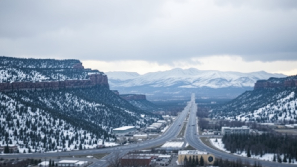
As Utah residents prepare for the upcoming weather changes, forecasters are predicting a transition from mild conditions to a significant storm system bringing rain and snow. Today, the weather will remain cloudy and mild, with southwesterly winds intensifying as the day progresses. Wind gusts are expected to reach between 30 and 35 mph in various parts of the West Desert, signaling the approach of a storm system that is set to impact the region starting late tonight.
The National Weather Service has issued a Winter Weather Advisory in anticipation of the storm, which is expected to begin as rain in the valleys and snow in the mountains late tonight, continuing through Monday. Initial showers will give way to a more robust round of precipitation late Sunday into Monday afternoon. Snow levels are projected to start at higher elevations but are expected to drop to approximately 6,500 feet by Monday. This shift in snow levels will result in heavy snowfall in the mountains, which could cause significant travel challenges.
According to meteorological forecasts, snow accumulations are expected to range between 8 and 18 inches in most mountainous areas above 7,000 feet, with even higher totals likely above 8,500 feet. The heavier snowfall will create hazardous conditions for those traveling through mountain routes, prompting officials to urge caution. Travelers should be prepared for potential delays and road closures due to the weather.
The storm is not just expected to bring snow; valley areas could also see considerable rainfall, further complicating travel and outdoor plans. The combination of rain and melting snow could lead to localized flooding in some regions, particularly in urban areas where drainage systems may be overwhelmed. Residents are advised to stay informed about the weather conditions and prepare for possible disruptions.
In addition to the immediate storm, weather experts are monitoring another system that may arrive late Wednesday into early Friday. This subsequent system is anticipated to be colder, with an increased likelihood of accumulating snow reaching many valley locations. While the specifics of this storm are still being fine-tuned, meteorologists are growing increasingly confident that cooler temperatures and widespread snowfall will affect much of the state.
As Utahns brace for the wet weather, it’s essential to stay updated with the latest forecasts. The FOX 13 Utah Weather Authority app is available for download, providing real-time weather updates and alerts. Additionally, interactive radar features can help residents track the storm’s progression across the state.
For those planning to travel during this weather event, it’s crucial to check road conditions and stay informed about potential travel advisories. The Utah Department of Transportation (UDOT) regularly updates its website with information on road closures and weather-related travel impacts.
The impact of these weather systems is significant not only for daily commuters but also for those involved in snow-related activities such as skiing and snowboarding. Ski resorts across the state are eagerly anticipating the fresh snowfall, which could enhance conditions for winter sports enthusiasts. However, safety must remain a priority, and skiers are encouraged to stay aware of avalanche conditions and resort advisories.
In conclusion, as Utah transitions from mild weather to a stormy forecast, residents are urged to prepare adequately for the upcoming rain and snow. With significant travel impacts expected, staying informed and cautious will be crucial in navigating the weather changes safely. As the storm approaches, the community is advised to remain vigilant and proactive in their preparations for adverse weather conditions over the coming days.